UN/LOCODE hub · Tunisia
TNTUN
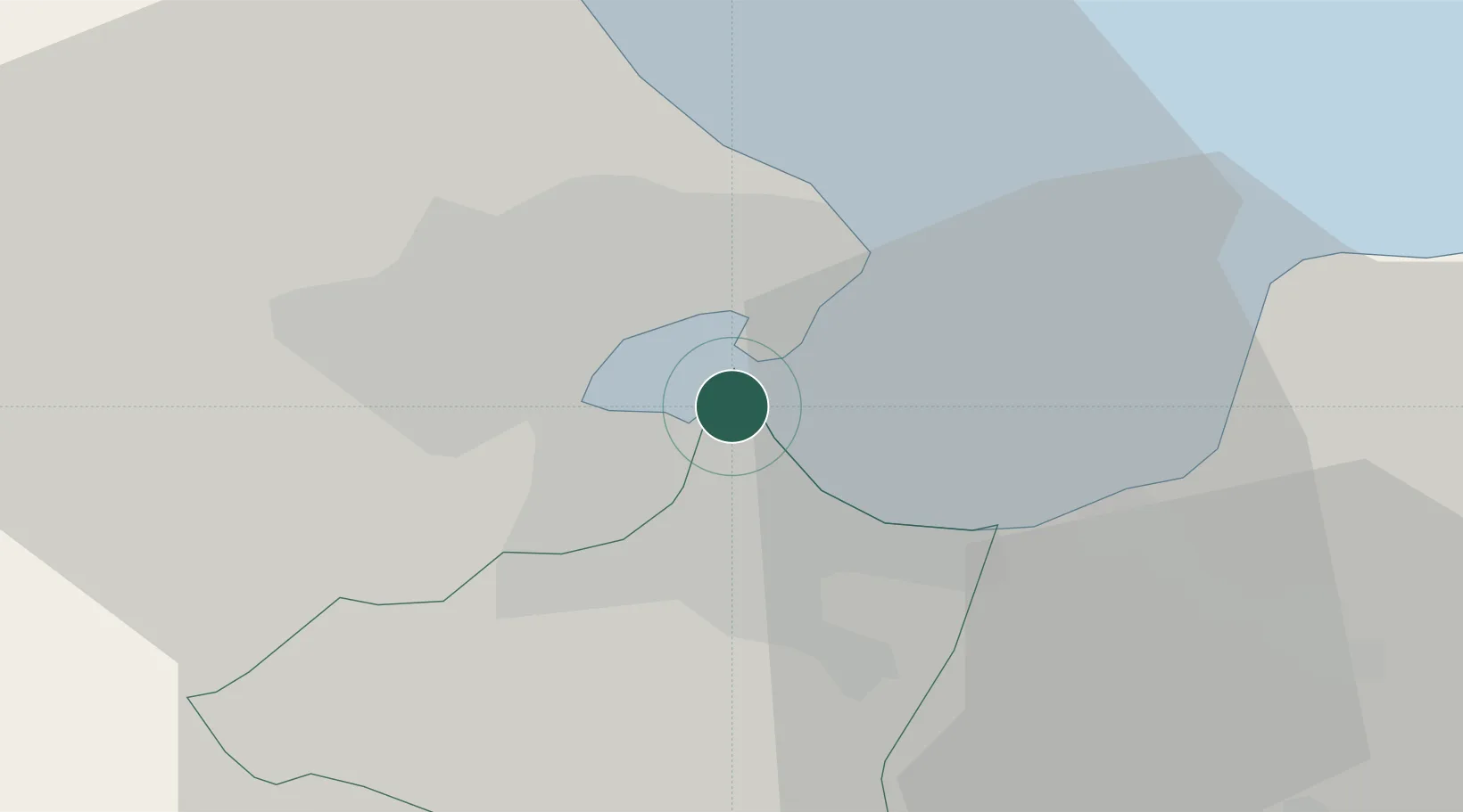
Tunis
36.7952°, 10.2708°
693,210
Population
5
Transport functions
1
Container terminals
Transport Functions
Port
Rail
Road
Airport
Postal
Hub Profile
Place type
National capital
Region
Tunis Governorate
Population
693,210
Time zone
Africa/Tunis
Elevation
23 m
Logistics facilities
7
Container terminals
1
Location
Nearby Logistics Neighbours
Cities
- 1Radès1 km
- 2Le Kram6 km
- 3Lafayette/Tunis8 km
- 4La Soukra8 km
- 5Boumhel9 km
Ports
- 1La Goulette3 km
- 2Rades4 km
- 3Menzel Bourguiba58 km
- 4Banzart64 km
- 5Sousse112 km
Airports
Trade Zones
DatabookThe Record of Consolidated Knowledge
Tunisia beyond logistics?