UN/LOCODE hub · Tunisia
TNRDS

Radès

36.7999°, 10.2722°
59,998
Population
3
Transport functions

Transport Functions

Port
Rail
Road
Radès is also a profiled seaport →
UN/LOCODE

Hub Profile

Place type
Populated place
GeoNames
Region
Ben Arous Governorate
GeoNames
Population
59,998
GeoNames
Time zone
Africa/Tunis
GeoNames
Elevation
5 m
GeoNames
Logistics facilities
2
UN/LOCODE

Location

Location of TNRDS
Natural Earth 10m (public domain) · Ben Arous Governorate · TNRDS · 36.80, 10.27GoogleOSMYandex

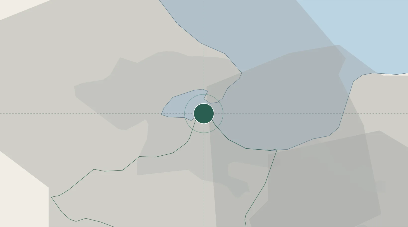
Nearby Logistics Neighbours

Cities
  1. 1Tunis1 km
  2. 2Le Kram5 km
  3. 3La Soukra8 km
  4. 4Lafayette/Tunis8 km
  5. 5Boumhel10 km
Nearest neighbours — logibook spatial index (haversine) over the source coordinates
Ports
  1. 1Tunis2 km
  2. 2La Goulette3 km
  3. 3Menzel Bourguiba57 km
  4. 4Banzart64 km
  5. 5Sousse113 km
Nearest neighbours — logibook spatial index (haversine) over the source coordinates
Trade Zones
  1. 1Bizerte Park of Economic Activities63 km
  2. 2Free Zone of Portovesme311 km
  3. 3Sicily Special Economic Zone Area365 km
  4. 4Zarzis Park of Economic Activities377 km
  5. 5Malta Freeport397 km
Nearest neighbours — logibook spatial index (haversine) over the source coordinates
DatabookThe Record of Consolidated Knowledge
Tunisia beyond logistics?
Browse databook

All Sources

LocationsUN/LOCODE
UN/LOCODE — free
LocationsGeoNames
CC BY 4.0
Portsthe NGA World Port Index
Public domain (US gov)
AirportsOurAirports
Public domain
Trade Zonesthe World Bank SEZ database
CC BY 4.0
Trade ZonesOpen Zone Map
CC BY
← Tunisia locations