Medium airport · Tunisia

Bizerte Sidi Ahmed Air BaseDTTB
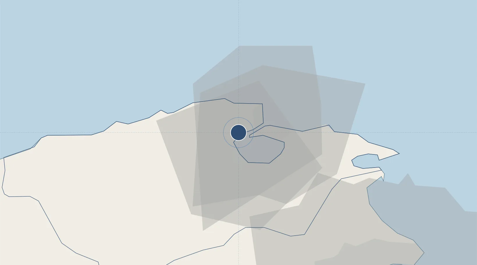
37.2424°, 9.7870°
9,845 ft
Longest runway
2
Runways
20 ft
Elevation

Runway & Layout

Bizerte Sidi Ahmed Air Base runway & taxiway layout
Runway & taxiway layout — OpenStreetMap (ODbL) / OurAirports

Runways · 2

RunwayDimensions SurfaceTrue headingLit
08/26 9,845 × 166ft Asphalt / concrete 083°
11/29 3,975 × 164ft Concrete 111°
OurAirports

Airport Specifications

ICAO code
DTTB
OurAirports
Airport class
Medium airport
OurAirports
Scheduled service
No
OurAirports
Runway surface
Asphalt / concrete
OurAirports
Served city
Borj Challouf
OurAirports

Location

Location of DTTB
Natural Earth 10m (public domain) · Bizerte · DTTB · 37.24, 9.79GoogleOSMYandex

Nearby Logistics Neighbours

Airports
  1. 1Tunis Carthage International Airport59 km
  2. 2Tabarka-Aïn Draham International Airport86 km
  3. 3Enfidha - Hammamet International Airport142 km
  4. 4Annaba Rabah Bitat Airport181 km
  5. 5Monastir Habib Bourguiba International Airport186 km
Nearest neighbours — logibook spatial index (haversine) over the source coordinates
Cities
  1. 1Bizerte8 km
  2. 2Tebourba46 km
  3. 3Ariana56 km
  4. 4La Soukra59 km
  5. 5Lafayette/Tunis59 km
Nearest neighbours — logibook spatial index (haversine) over the source coordinates
Ports
  1. 1Banzart10 km
  2. 2Menzel Bourguiba10 km
  3. 3Tunis64 km
  4. 4Rades66 km
  5. 5La Goulette67 km
Nearest neighbours — logibook spatial index (haversine) over the source coordinates
Trade Zones
  1. 1Bizerte Park of Economic Activities7 km
  2. 2Free Zone of Portovesme247 km
  3. 3Sardinia Special Economic Zone Area378 km
  4. 4Sicily Special Economic Zone Area398 km
  5. 5Zarzis Park of Economic Activities435 km
Nearest neighbours — logibook spatial index (haversine) over the source coordinates
DatabookThe Record of Consolidated Knowledge
Tunisia beyond logistics?
Browse databook

All Sources

AirportsOurAirports
Public domain
Portsthe NGA World Port Index
Public domain (US gov)
LocationsUN/LOCODE
UN/LOCODE — free
Trade Zonesthe World Bank SEZ database
CC BY 4.0
Trade ZonesOpen Zone Map
CC BY
InfrastructureOpenStreetMap
ODbL 1.0
← Tunisia airports