Large airport · Tunisia

Tunis Carthage International AirportDTTA
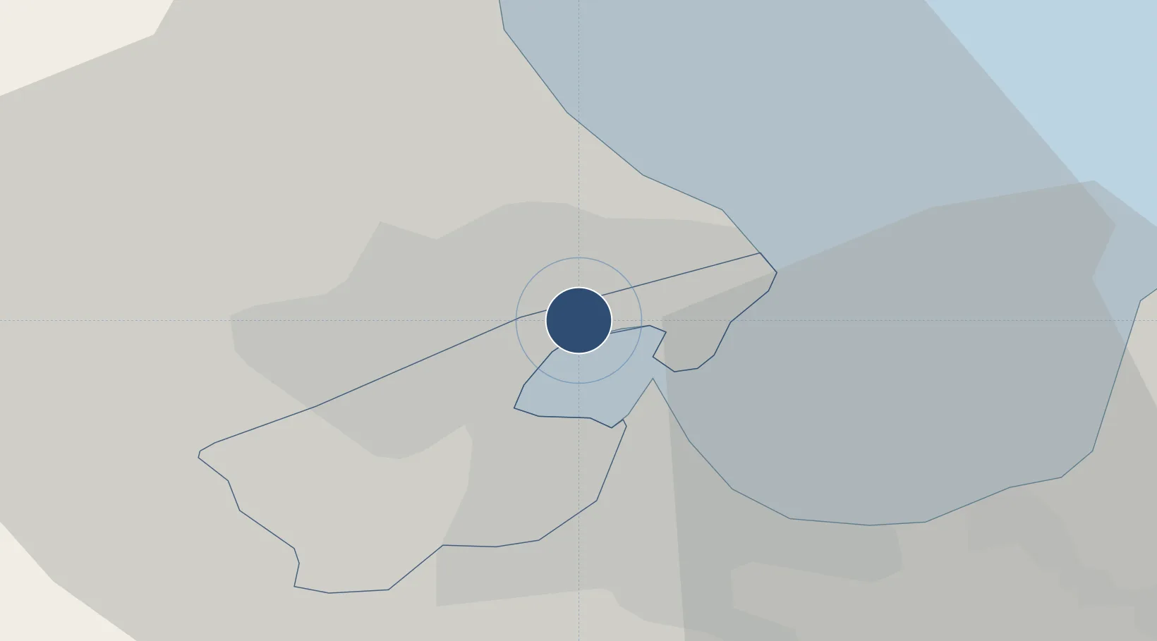
36.8510°, 10.2272°
10,499 ft
Longest runway
2
Runways
22 ft
Elevation

Runway & Layout

Tunis Carthage International Airport runway & taxiway layout
Runway & taxiway layout — OpenStreetMap (ODbL) / OurAirports

Radio Frequencies

ATIS
118.675 MHz
TUNIS ATIS
TWR
118.1 MHz
TUNIS TWR
GND
121.9 MHz
TUNIS GND
APP
121.2 MHz
TUNIS APP
CTAF
118.5 MHz
OurAirports

Navaids

KDN NDB Tunis 386 kHz
TS NDB Tunis 325 kHz
TUC VOR-DME Tunis 116.50 MHz
OurAirports

Runways · 2

RunwayDimensions SurfaceTrue headingLit
01/19 10,499 × 148ft Asphalt 012°
11/29 9,318 × 148ft Asphalt 112°
OurAirports

Airport Specifications

IATA code
TUN
OurAirports
ICAO code
DTTA
OurAirports
Airport class
Large airport
OurAirports
Scheduled service
Yes
OurAirports
Runway surface
Asphalt
OurAirports
Served city
Tunis
OurAirports

Location

Location of DTTA
Natural Earth 10m (public domain) · Tunis · DTTA · 36.85, 10.23GoogleOSMYandex

Nearby Logistics Neighbours

Airports
  1. 1Bizerte Sidi Ahmed Air Base59 km
  2. 2Enfidha - Hammamet International Airport88 km
  3. 3Tabarka-Aïn Draham International Airport121 km
  4. 4Monastir Habib Bourguiba International Airport130 km
  5. 5Pantelleria Airport155 km
Nearest neighbours — logibook spatial index (haversine) over the source coordinates
Cities
  1. 1La Soukra3 km
  2. 2Ariana4 km
  3. 3Lafayette/Tunis6 km
  4. 4Radès7 km
  5. 5Tunis7 km
Nearest neighbours — logibook spatial index (haversine) over the source coordinates
Ports
  1. 1Tunis6 km
  2. 2Rades8 km
  3. 3La Goulette9 km
  4. 4Menzel Bourguiba50 km
  5. 5Banzart57 km
Nearest neighbours — logibook spatial index (haversine) over the source coordinates
Trade Zones
  1. 1Bizerte Park of Economic Activities56 km
  2. 2Free Zone of Portovesme304 km
  3. 3Sicily Special Economic Zone Area367 km
  4. 4Zarzis Park of Economic Activities383 km
  5. 5Malta Freeport403 km
Nearest neighbours — logibook spatial index (haversine) over the source coordinates
DatabookThe Record of Consolidated Knowledge
Tunisia beyond logistics?
Browse databook

All Sources

AirportsOurAirports
Public domain
Portsthe NGA World Port Index
Public domain (US gov)
LocationsUN/LOCODE
UN/LOCODE — free
Trade Zonesthe World Bank SEZ database
CC BY 4.0
Trade ZonesOpen Zone Map
CC BY
InfrastructureOpenStreetMap
ODbL 1.0
← Tunisia airports