Seaport · Tunisia

BanzartTNBIZ

37.2833°, 9.8833°
11.0 m
Channel depth
8.1
Port liner connectivity
Banzart is also a UN/LOCODE logistics hub →

Channel & Berth Profile

SEA LEVEL (CD)CHANNEL BEDCargo pier · 7.9 mChannel · 11.0 mAnchorage · 23.2 m
NGA World Port Index

Pilotage, Tugs & Services

Pilotage compulsoryYES
Pilotage availableYES
Pilotage advisableNO
Tug assistanceYES
Shore powerYES
Potable waterYES
MedicalYES
Garbage disposalYES
NGA World Port Index

Facilities & Capabilities

Container
Ro-Ro
Liquid bulk
Dry bulk
Oil terminal
Break bulk
Dry dockNO
RepairsNO
BunkeringYES
Rail linkNO
Dangerous cargo
ISPS security
NGA World Port Index

Harbour Specifications

Harbour size
Small
NGA World Port Index
Harbour type
Coastal (Breakwater)
NGA World Port Index
Shelter
Good
NGA World Port Index
Water body
Mediterranean Sea; North Atlantic Ocean
NGA World Port Index
Overhead limit
Yes
NGA World Port Index
Pilotage
Yes
NGA World Port Index

Liner Connectivity

8.1
PLSCI

Port Liner Shipping Connectivity Index for Banzart, as published by UNCTAD for the latest available quarter. Higher values indicate stronger scheduled liner-shipping integration.

Shown relative to the highest per-port PLSCI in the dataset (1,657.9).
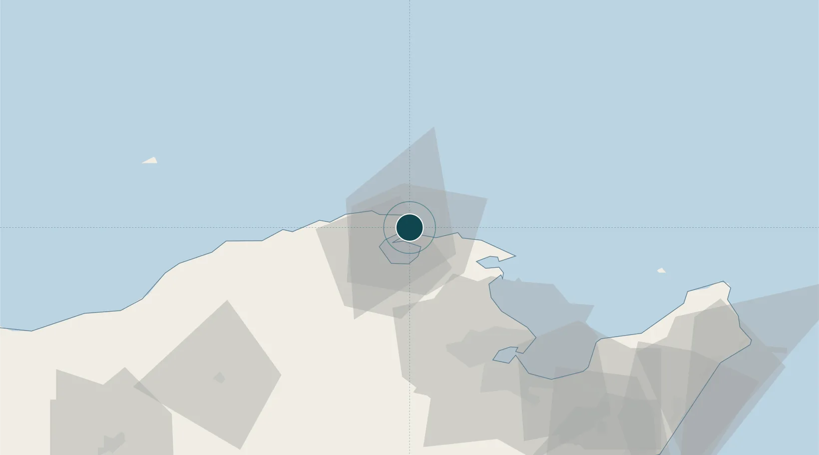
UNCTAD · Port Liner Shipping Connectivity Index

Location

Location of TNBIZ
Natural Earth 10m (public domain) · Bizerte · TNBIZ · 37.28, 9.88GoogleOSMYandex

Nearby Logistics Neighbours

Ports
  1. 1Menzel Bourguiba17 km
  2. 2Tunis63 km
  3. 3Rades64 km
  4. 4La Goulette65 km
  5. 5Tabarka105 km
Nearest neighbours — logibook spatial index (haversine) over the source coordinates
Cities
  1. 1Tebourba50 km
  2. 2Ariana55 km
  3. 3La Soukra57 km
  4. 4Lafayette/Tunis58 km
  5. 5Al Marsá60 km
Nearest neighbours — logibook spatial index (haversine) over the source coordinates
Trade Zones
  1. 1Bizerte Park of Economic Activities3 km
  2. 2Free Zone of Portovesme247 km
  3. 3Sardinia Special Economic Zone Area376 km
  4. 4Sicily Special Economic Zone Area389 km
  5. 5Zarzis Park of Economic Activities437 km
Nearest neighbours — logibook spatial index (haversine) over the source coordinates
DatabookThe Record of Consolidated Knowledge
Tunisia beyond logistics?
Browse databook

All Sources

Portsthe NGA World Port Index
Public domain (US gov)
Logistics performanceUNCTAD
CC BY 3.0 IGO
AirportsOurAirports
Public domain
LocationsUN/LOCODE
UN/LOCODE — free
Trade Zonesthe World Bank SEZ database
CC BY 4.0
Trade ZonesOpen Zone Map
CC BY
← Tunisia ports