Transport Functions
Port
Rail
Road
Hub Profile
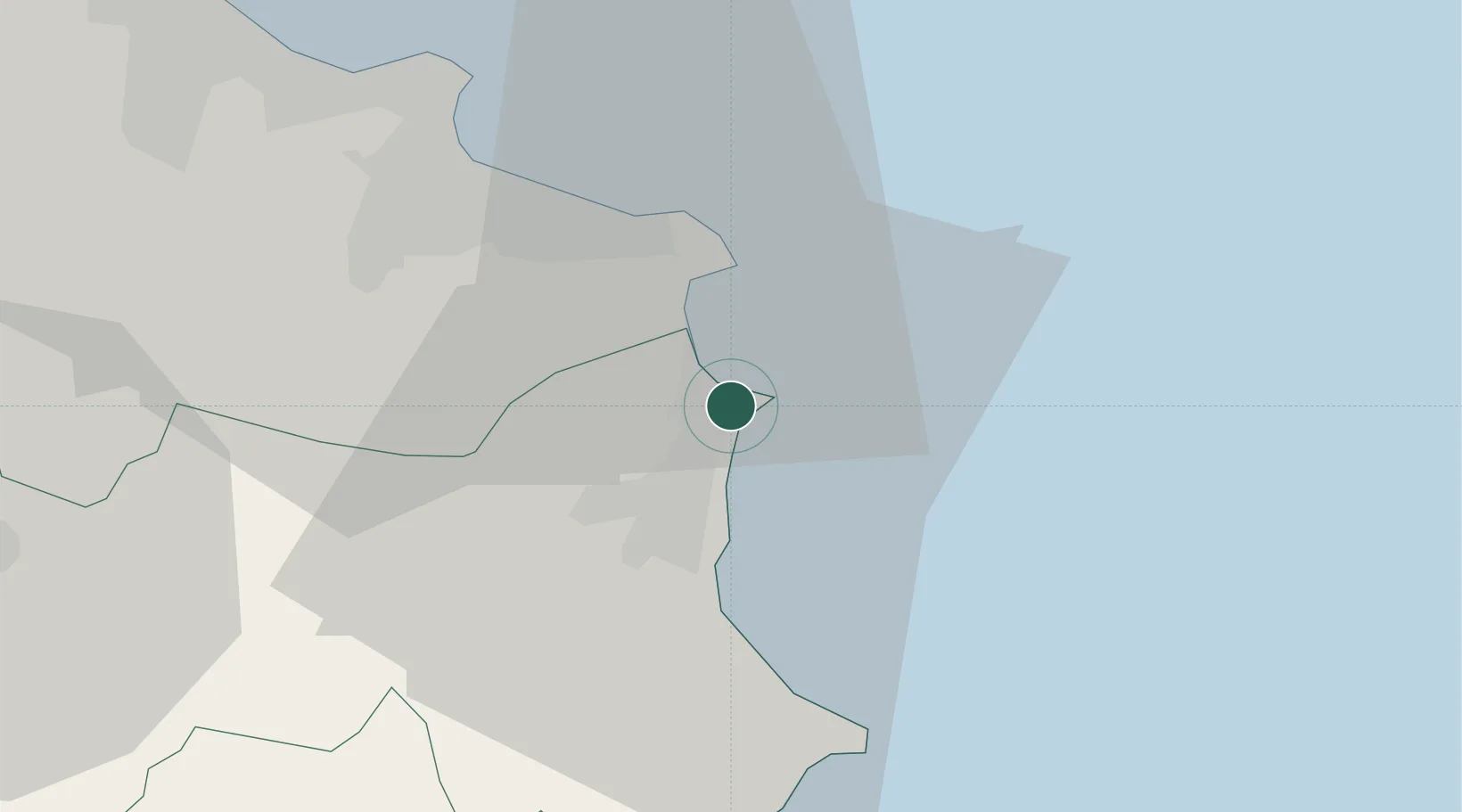
Place type
Regional capital
Region
Mahdia Governorate
Population
51,803
Time zone
Africa/Tunis
Elevation
7 m
Location
Nearby Logistics Neighbours
Cities
- 1Bu Hajar26 km
- 2Ksibet el Médiouni27 km
- 3Bu Mirdas29 km
- 4Chebba30 km
- 5El Jem38 km
Ports
- 1Sousse52 km
- 2Mersa Sfax89 km
- 3Tazerka Oil Terminal135 km
- 4Ashtart Oil Terminal139 km
- 5Lampedusa140 km
Airports
Trade Zones
DatabookThe Record of Consolidated Knowledge
Tunisia beyond logistics?