Transport Functions
Road
Multimodal
Hub Profile
Region
53
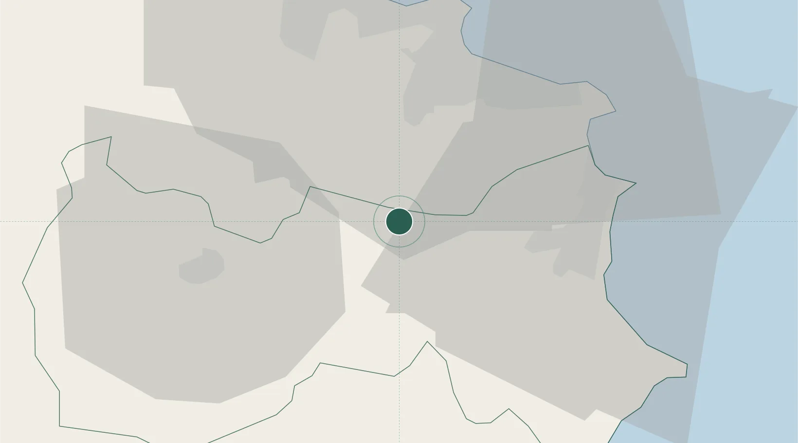
Location
Nearby Logistics Neighbours
Cities
- 1El Jem17 km
- 2Ksibet el Médiouni26 km
- 3Bu Hajar29 km
- 4Mahdia29 km
- 5Sahline34 km
Ports
- 1Mahdia31 km
- 2Sousse43 km
- 3Mersa Sfax80 km
- 4Skhira142 km
- 5Ashtart Oil Terminal143 km
Airports
Trade Zones
DatabookThe Record of Consolidated Knowledge
Tunisia beyond logistics?