Transport Functions
Rail
Road
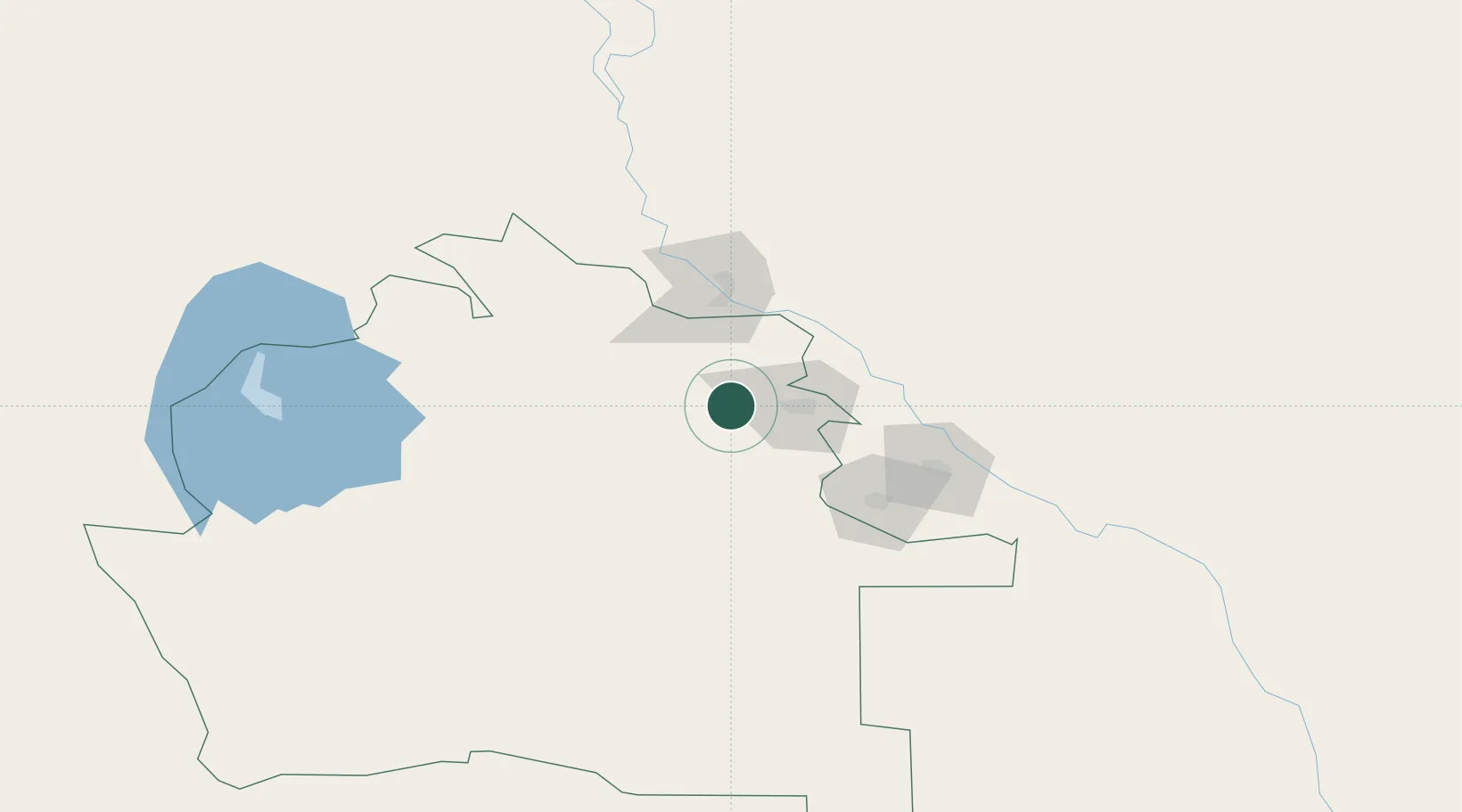
Hub Profile
Place type
Populated place
Region
Daşoguz
Population
36,594
Time zone
Asia/Ashgabat
Elevation
80 m
Location
Nearby Logistics Neighbours
Cities
- 1Boldumsaz30 km
- 2Köneürgench65 km
- 3Urganch (Urgench)90 km
- 4Astana100 km
- 5Akaltyn129 km
Ports
- 1Bandar-E Mahshahr1574 km
- 2Bandar Khomeyni1583 km
- 3Khorramshahr1632 km
- 4Kharg Island Oil Terminal1635 km
- 5Abadan1635 km
Airports
Trade Zones
DatabookThe Record of Consolidated Knowledge
Turkmenistan beyond logistics?