UN/LOCODE hub · Turkmenistan
TMKON

Köneürgench

42.3167°, 59.1333°
2
Transport functions

Transport Functions

Rail
Road
UN/LOCODE

Location

Location of TMKON
Natural Earth 10m (public domain) · Tashauz · TMKON · 42.32, 59.13GoogleOSMYandex

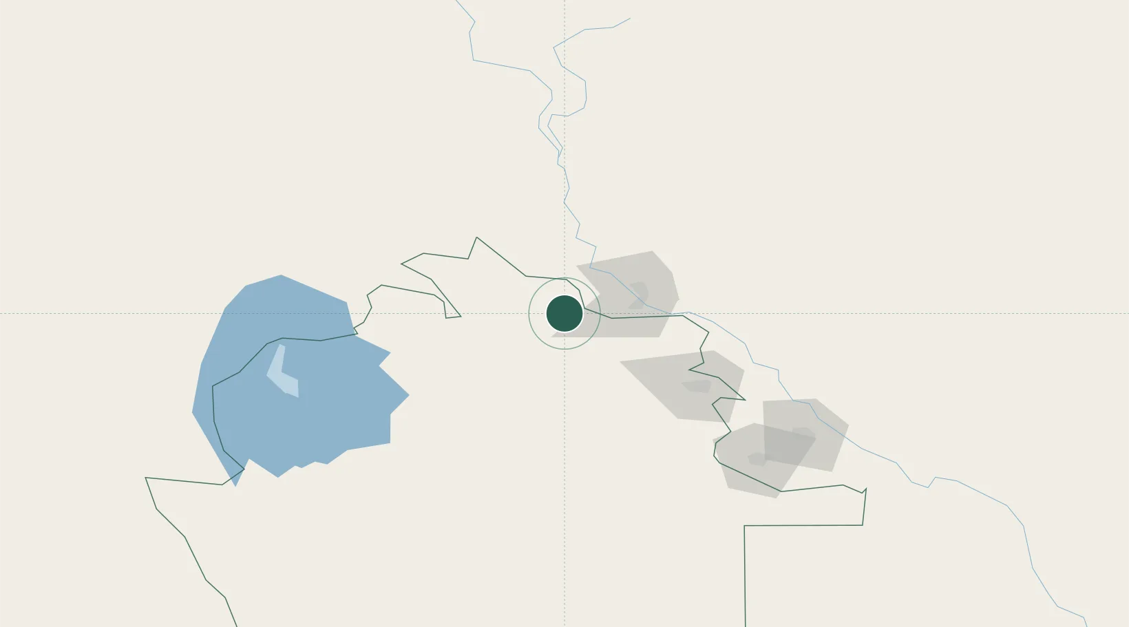
Nearby Logistics Neighbours

Cities
  1. 1Boldumsaz48 km
  2. 2Yylanly65 km
  3. 3Qunghirot83 km
  4. 4Urganch (Urgench)151 km
  5. 5Astana164 km
Nearest neighbours — logibook spatial index (haversine) over the source coordinates
Ports
  1. 1Bandar-E Mahshahr1588 km
  2. 2Bandar Khomeyni1596 km
  3. 3Khorramshahr1642 km
  4. 4Abadan1646 km
  5. 5Al Basrah1653 km
Nearest neighbours — logibook spatial index (haversine) over the source coordinates
Airports
  1. 1Nukus International Airport45 km
  2. 2Dashoguz International Airport85 km
  3. 3Urgench International Airport149 km
  4. 4Sugraly Airport429 km
  5. 5Ashgabat Bezmein Air Base485 km
Nearest neighbours — logibook spatial index (haversine) over the source coordinates
Trade Zones
  1. 1Nukus Free Economic Zone32 km
  2. 2Hazorasp Free Economic Zone150 km
  3. 3Gijduvon Free Economic Zone522 km
  4. 4Bukhoro-agro Free Economic Zone527 km
  5. 5Navoi Free Industrial Economic Zone558 km
Nearest neighbours — logibook spatial index (haversine) over the source coordinates
DatabookThe Record of Consolidated Knowledge
Turkmenistan beyond logistics?
Browse databook

All Sources

LocationsUN/LOCODE
UN/LOCODE — free
Portsthe NGA World Port Index
Public domain (US gov)
AirportsOurAirports
Public domain
Trade Zonesthe World Bank SEZ database
CC BY 4.0
Trade ZonesOpen Zone Map
CC BY
← Turkmenistan locations