Transport Functions
Port
Road
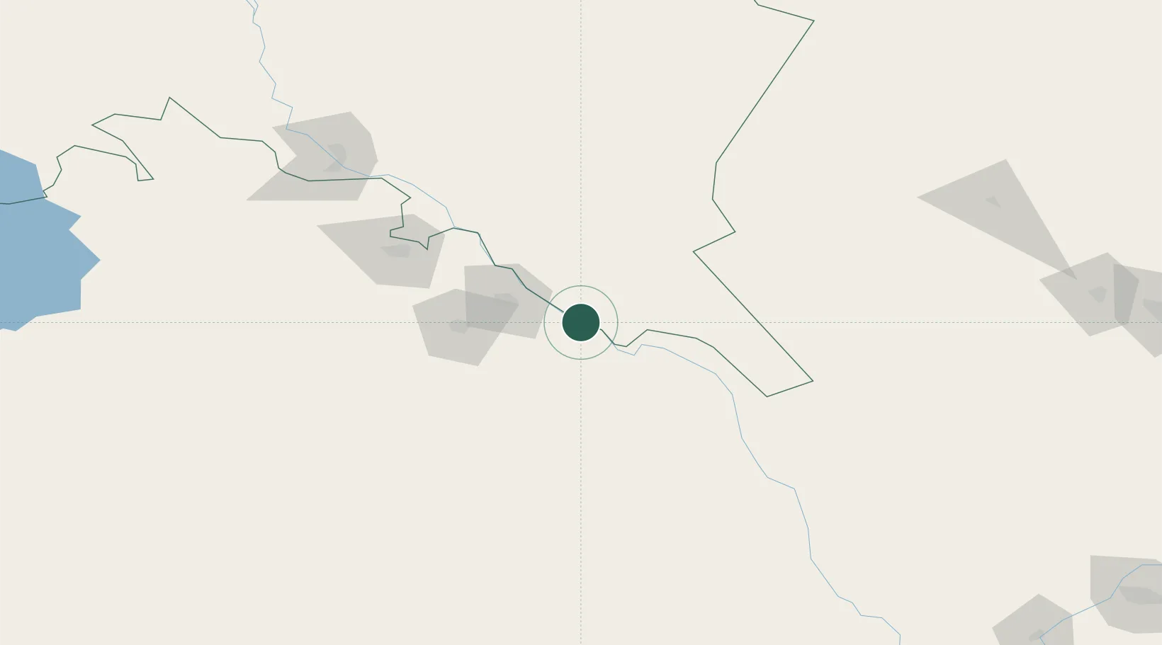
Location
Nearby Logistics Neighbours
Cities
- 1Urganch (Urgench)38 km
- 2Astana41 km
- 3Lebap81 km
- 4Yylanly129 km
- 5Boldumsaz140 km
Ports
- 1Bandar-E Mahshahr1619 km
- 2Bandar Khomeyni1628 km
- 3Bushehr1665 km
- 4Kharg Island Oil Terminal1667 km
- 5Khorramshahr1682 km
Airports
- 1Urgench International Airport39 km
- 2Dashoguz International Airport109 km
- 3Nukus International Airport167 km
- 4Sugraly Airport264 km
- 5Bukhara International Airport342 km
Trade Zones
DatabookThe Record of Consolidated Knowledge
Uzbekistan beyond logistics?