UN/LOCODE hub · Turkmenistan
TMBOL
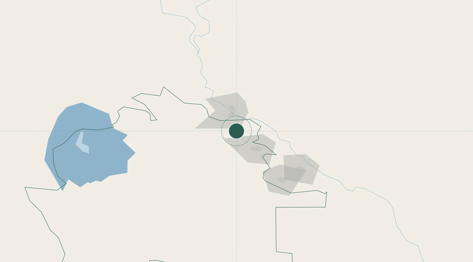
Boldumsaz
42.1333°, 59.6667°
21,159
Population
2
Transport functions
Transport Functions
Rail
Road
Hub Profile
Place type
Populated place
Region
Daşoguz
Population
21,159
Time zone
Asia/Ashgabat
Elevation
81 m
Location
Nearby Logistics Neighbours
Cities
- 1Yylanly30 km
- 2Köneürgench48 km
- 3Urganch (Urgench)103 km
- 4Astana118 km
- 5Qunghirot121 km
Ports
- 1Bandar-E Mahshahr1599 km
- 2Bandar Khomeyni1607 km
- 3Khorramshahr1656 km
- 4Abadan1659 km
- 5Kharg Island Oil Terminal1661 km
Airports
- 1Nukus International Airport40 km
- 2Dashoguz International Airport44 km
- 3Urgench International Airport101 km
- 4Sugraly Airport382 km
- 5Ashgabat International Airport474 km
Trade Zones
DatabookThe Record of Consolidated Knowledge
Turkmenistan beyond logistics?