Large airport · Turkmenistan

Dashoguz International AirportUTAT
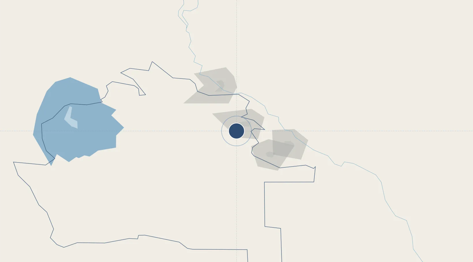
41.7599°, 59.8361°
12,467 ft
Longest runway
1
Runways
272 ft
Elevation

Runway & Layout

Dashoguz International Airport runway & taxiway layout
Runway & taxiway layout — OpenStreetMap (ODbL) / OurAirports

Radio Frequencies

APP
130.4 MHz
TCA
131.7 MHz
TRANSIT
OurAirports

Navaids

RP NDB Dashoguz 322 kHz
VH NDB Dashoguz 322 kHz
OurAirports

Runways · 1

RunwayDimensions SurfaceTrue headingLit
08/26 12,467 × 148ft Concrete 090°
OurAirports

Airport Specifications

IATA code
TAZ
OurAirports
ICAO code
UTAT
OurAirports
Airport class
Large airport
OurAirports
Scheduled service
Yes
OurAirports
Runway surface
Concrete
OurAirports
Served city
Daşoguz
OurAirports

Location

Location of UTAT
Natural Earth 10m (public domain) · Tashauz · UTAT · 41.76, 59.84GoogleOSMYandex

Nearby Logistics Neighbours

Airports
  1. 1Urgench International Airport70 km
  2. 2Nukus International Airport83 km
  3. 3Ashgabat International Airport438 km
  4. 4Ashgabat Bezmein Air Base440 km
  5. 5Türkmenabat International Airport446 km
Nearest neighbours — logibook spatial index (haversine) over the source coordinates
Cities
  1. 1Yylanly21 km
  2. 2Boldumsaz44 km
  3. 3Urganch (Urgench)70 km
  4. 4Astana79 km
  5. 5Köneürgench85 km
Nearest neighbours — logibook spatial index (haversine) over the source coordinates
Ports
  1. 1Bandar-E Mahshahr1576 km
  2. 2Bandar Khomeyni1585 km
  3. 3Khorramshahr1635 km
  4. 4Kharg Island Oil Terminal1635 km
  5. 5Bushehr1636 km
Nearest neighbours — logibook spatial index (haversine) over the source coordinates
Trade Zones
  1. 1Hazorasp Free Economic Zone70 km
  2. 2Nukus Free Economic Zone85 km
  3. 3Gijduvon Free Economic Zone443 km
  4. 4Bukhoro-agro Free Economic Zone446 km
  5. 5Navoi Free Industrial Economic Zone481 km
Nearest neighbours — logibook spatial index (haversine) over the source coordinates
DatabookThe Record of Consolidated Knowledge
Turkmenistan beyond logistics?
Browse databook

All Sources

AirportsOurAirports
Public domain
Portsthe NGA World Port Index
Public domain (US gov)
LocationsUN/LOCODE
UN/LOCODE — free
Trade Zonesthe World Bank SEZ database
CC BY 4.0
Trade ZonesOpen Zone Map
CC BY
InfrastructureOpenStreetMap
ODbL 1.0
← Turkmenistan airports