Transport Functions
Rail
Road
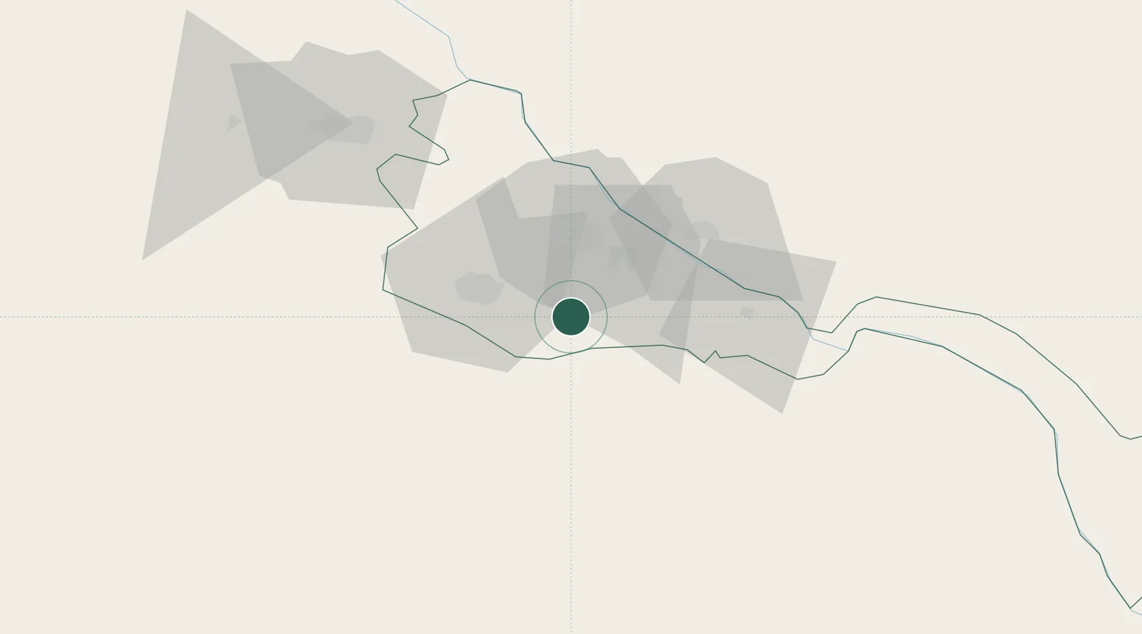
Hub Profile
Place type
Populated place
Region
Xorazm Region
Time zone
Asia/Samarkand
Elevation
94 m
Location
Nearby Logistics Neighbours
Cities
- 1Urganch (Urgench)24 km
- 2Akaltyn41 km
- 3Yylanly100 km
- 4Lebap112 km
- 5Boldumsaz118 km
Ports
- 1Bandar-E Mahshahr1584 km
- 2Bandar Khomeyni1593 km
- 3Bushehr1633 km
- 4Kharg Island Oil Terminal1634 km
- 5Khorramshahr1646 km
Airports
Trade Zones
DatabookThe Record of Consolidated Knowledge
Uzbekistan beyond logistics?