Transport Functions
Rail
Road
Airport
Hub Profile
Region
XO
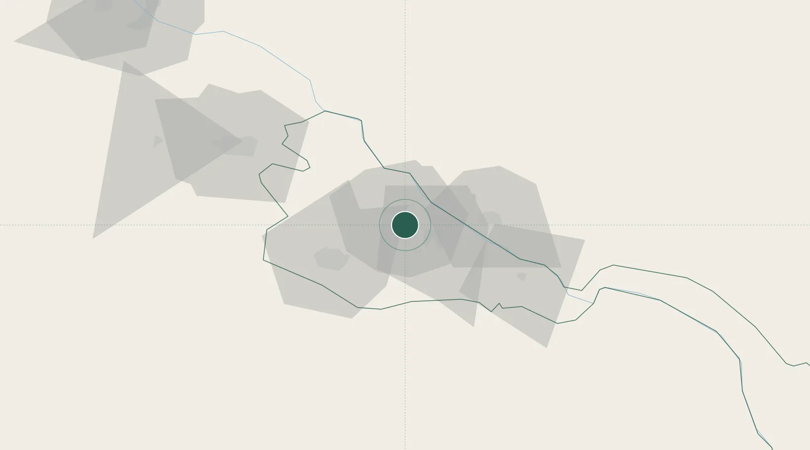
Location
Nearby Logistics Neighbours
Ports
- 1Bandar-E Mahshahr1603 km
- 2Bandar Khomeyni1612 km
- 3Bushehr1654 km
- 4Kharg Island Oil Terminal1655 km
- 5Khorramshahr1665 km
Airports
Trade Zones
DatabookThe Record of Consolidated Knowledge
Uzbekistan beyond logistics?