UN/LOCODE hub · Thailand
THPPA
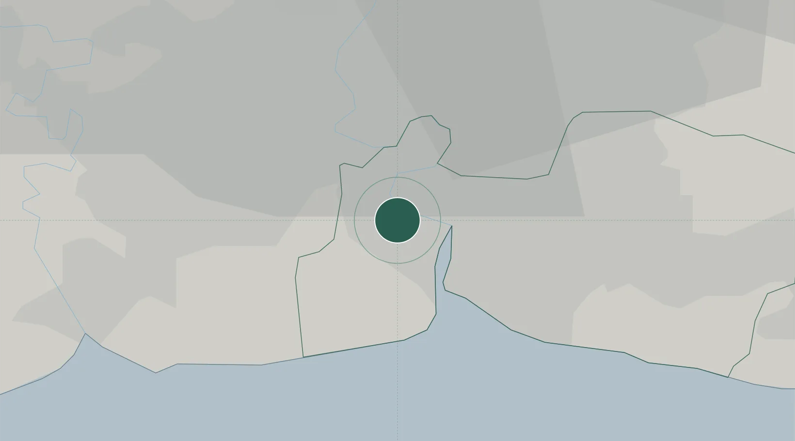
Phra Pradaeng
13.6167°, 100.5500°
196,129
Population
2
Transport functions
Transport Functions
Port
Road
Hub Profile
Place type
Provincial seat
Region
Samut Prakan
Population
196,129
Time zone
Asia/Bangkok
Elevation
5 m
Location
Nearby Logistics Neighbours
Cities
- 1Siamgas and Petrochemicals2 km
- 2Nim Port3 km
- 3Pak Nam3 km
- 4Bangkok Modern Terminals/Bangkok3 km
- 5Actu-lum4 km
Ports
- 1Bangkok16 km
- 2Ko Si Chang Terminal58 km
- 3Si Racha Terminal64 km
- 4Siam Seaport65 km
- 5Laem Chabang69 km
Airports
Trade Zones
DatabookThe Record of Consolidated Knowledge
Thailand beyond logistics?