Transport Functions
Port
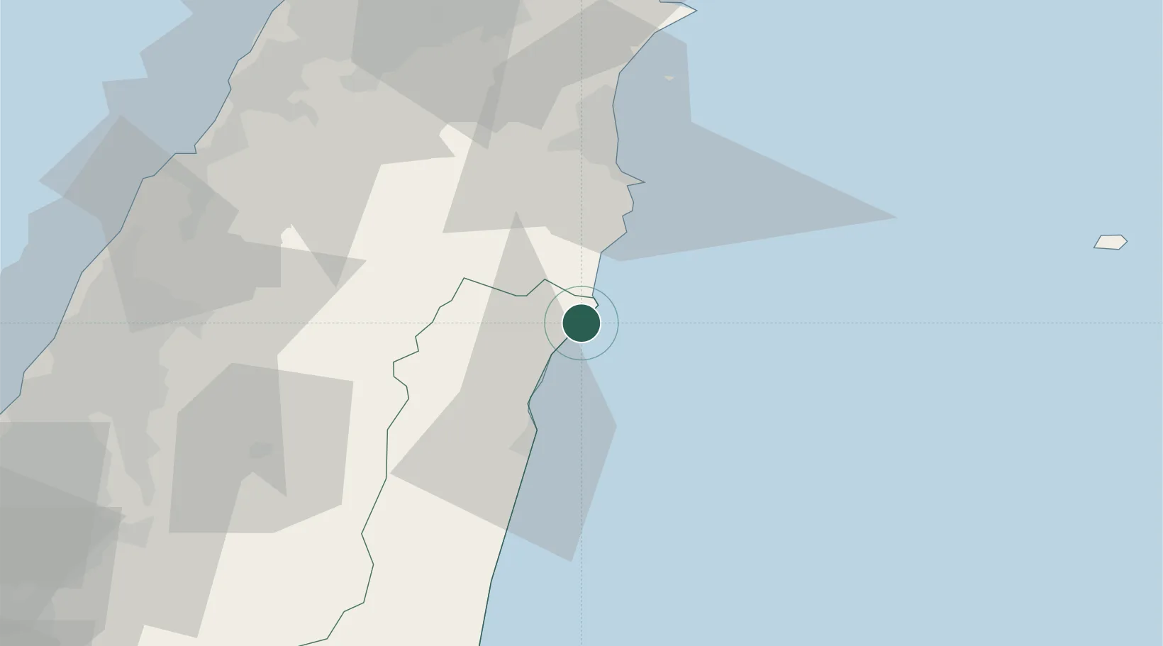
Location
Nearby Logistics Neighbours
Cities
- 1I-lan56 km
- 2Bade City89 km
- 3Wu-tu91 km
- 4Taoyuan93 km
- 5Keelung (Chilung)93 km
Ports
- 1Hua-Lien Kang34 km
- 2Su-Ao39 km
- 3Chi-Lung96 km
- 4Tan-Shui107 km
- 5Tai-Chung Kang125 km
Airports
Trade Zones
DatabookThe Record of Consolidated Knowledge
Thailand beyond logistics?