UN/LOCODE hub · Taiwan
TWKEL
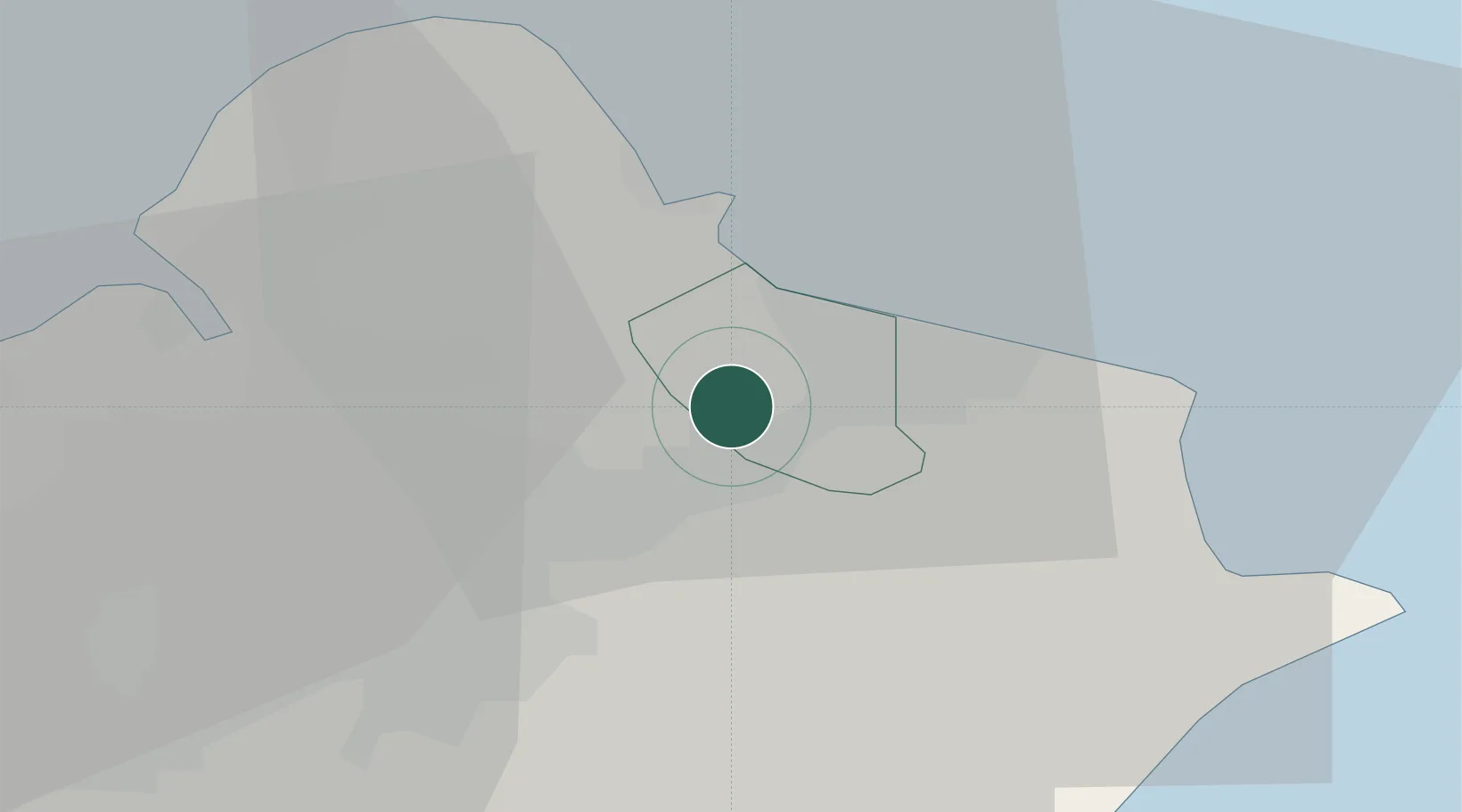
Keelung (Chilung)
25.1002°, 121.6822°
1
Transport functions
3
Container terminals
Transport Functions
Port
Hub Profile
Logistics facilities
36
Container terminals
3
Location
Nearby Logistics Neighbours
Ports
- 1Tan-Shui30 km
- 2Su-Ao59 km
- 3Hua-Lien Kang125 km
- 4Tai-Chung Kang149 km
- 5Mailiao212 km
Airports
DatabookThe Record of Consolidated Knowledge
Taiwan beyond logistics?