Free Trade Zone · Taiwan

Port Of Suao Free Trade Zone Active
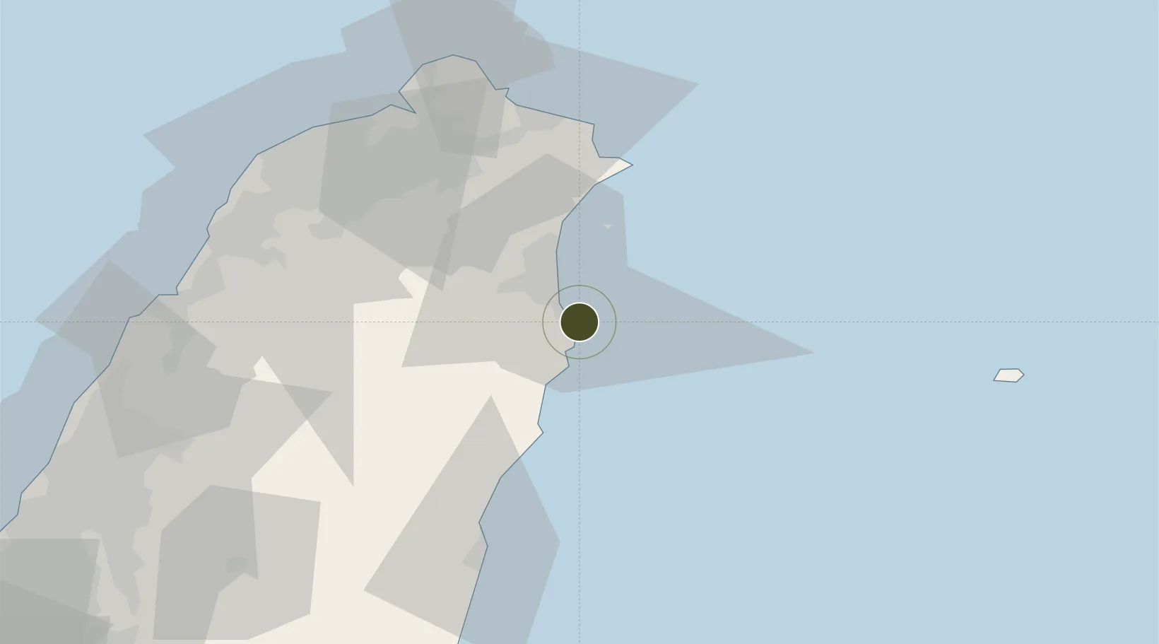
24.5952°, 121.8668°
58 ha
Zone area
0.5 km
Nearest port
61.3 km
Nearest airport

Gateway access

Nearest neighbours — logibook spatial index (haversine) over the source coordinates

Zone profile

Zone type
Free Trade Zone
Open Zone Map
Region
Yilan
Open Zone Map
Status
Active
Open Zone Map
Management
Public
Open Zone Map
Operator
Taiwan International Ports Corporation Ltd.
Open Zone Map
Legal framework
Act for the Establishment and Management of Free Trade zones
Open Zone Map

Location

Location of ozm-4389
Natural Earth 10m (public domain) · Yilan · ozm-4389 · 24.60, 121.87GoogleOSMYandex

Nearby Logistics Neighbours

Ports
  1. 1Su-Ao1 km
  2. 2Chi-Lung61 km
  3. 3Hua-Lien Kang73 km
  4. 4Tan-Shui81 km
  5. 5Tai-Chung Kang142 km
Nearest neighbours — logibook spatial index (haversine) over the source coordinates
Airports
  1. 1Taipei Songshan International Airport61 km
  2. 2Hualien Chiashan Airport68 km
  3. 3Longtan Air Base70 km
  4. 4Taiwan Taoyuan International Airport84 km
  5. 5Hsinchu Air Base97 km
Nearest neighbours — logibook spatial index (haversine) over the source coordinates
Cities
  1. 1I-lan22 km
  2. 2Hoping39 km
  3. 3Wu-tu58 km
  4. 4Keelung (Chilung)59 km
  5. 5Taipei68 km
Nearest neighbours — logibook spatial index (haversine) over the source coordinates
Trade Zones
  1. 1Port Of Keelung Free Trade Zone62 km
  2. 2Port Of Taipei Free Trade Zone79 km
  3. 3Taoyuan International Airport Free Trade Zone84 km
  4. 4Taichung Export Processing Zone125 km
  5. 5Port Of Taichung Free Trade Zone141 km
Nearest neighbours — logibook spatial index (haversine) over the source coordinates
DatabookThe Record of Consolidated Knowledge
Taiwan beyond logistics?
Browse databook

All Sources

Trade ZonesOpen Zone Map
CC BY
Portsthe NGA World Port Index
Public domain (US gov)
AirportsOurAirports
Public domain
LocationsUN/LOCODE
UN/LOCODE — free
← Taiwan trade zones