Seaport · Taiwan
Chi-LungTWKEL
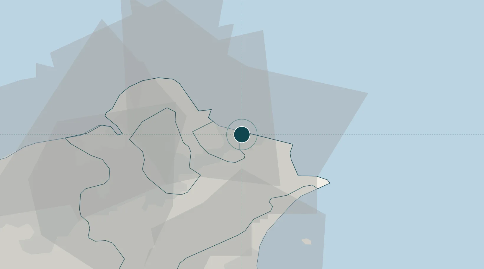
25.1333°, 121.7667°
26.0 m
Channel depth
3
Container terminals
311.4
Port liner connectivity
Channel & Berth Profile
Pilotage, Tugs & Services
Pilotage compulsoryYES
Pilotage availableYES
Pilotage advisableYES
Tug assistanceYES
Salvage tugsYES
Potable waterYES
Diesel bunkersYES
MedicalYES
Facilities & Capabilities
ContainerYES
Ro-Ro—
Liquid bulkYES
Dry bulkYES
Oil terminalYES
Break bulkYES
Dry dockNO
RepairsNO
BunkeringYES
Rail linkYES
Dangerous cargoALLOW
ISPS security—
Harbour Specifications
Harbour size
Large
Harbour type
Coastal (Natural)
Shelter
Good
Water body
East China Sea; North Pacific Ocean
Tidal range
1.9 m
Pilotage
Yes
Liner Connectivity
311.4
PLSCI
Port Liner Shipping Connectivity Index for Chi-Lung, as published by UNCTAD for the latest available quarter. Higher values indicate stronger scheduled liner-shipping integration.
Shown relative to the highest per-port PLSCI in the dataset (1,657.9).
Location
Container Terminals · 3
TIPC KEELUNG WEST COAST CONTAINER TERMINAL
TIPC TAIWAN INTERNATIONAL PORTS CO., LTD. (TIPC)
ULIC EASTERN PORT TERMINAL
ULIC UNITED LOGISTICS INTERNATIONAL CO., LTD.
CCTC KEELUNG CONTAINER TERMINAL
WUDU CHINA CONTAINER TERMINAL CO., LTD.
Nearby Logistics Neighbours
Ports
- 1Tan-Shui37 km
- 2Su-Ao60 km
- 3Hua-Lien Kang129 km
- 4Tai-Chung Kang158 km
- 5Mailiao221 km
Airports
DatabookThe Record of Consolidated Knowledge
Taiwan beyond logistics?