Transport Functions
Rail
Road
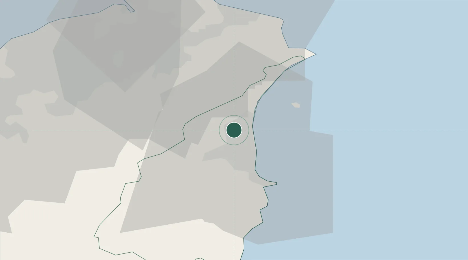
Location
Nearby Logistics Neighbours
Cities
- 1Wu-tu36 km
- 2Keelung (Chilung)38 km
- 3Taipei45 km
- 4Bade City51 km
- 5Bali55 km
Ports
- 1Su-Ao22 km
- 2Chi-Lung41 km
- 3Tan-Shui58 km
- 4Hua-Lien Kang88 km
- 5Tai-Chung Kang137 km
Airports
Trade Zones
DatabookThe Record of Consolidated Knowledge
Taiwan beyond logistics?