Transport Functions
Port
Road
Airport
Hub Profile
Place type
Provincial seat
Region
Taiwan
Population
475,798
Time zone
Asia/Taipei
Elevation
103 m
Logistics facilities
4
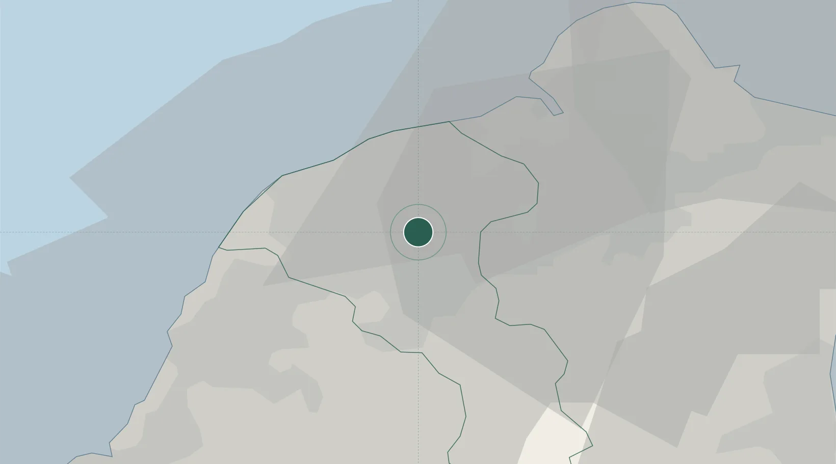
Location
Nearby Logistics Neighbours
Ports
- 1Tan-Shui28 km
- 2Chi-Lung56 km
- 3Su-Ao75 km
- 4Tai-Chung Kang106 km
- 5Hua-Lien Kang116 km
Airports
Trade Zones
DatabookThe Record of Consolidated Knowledge
Taiwan beyond logistics?