UN/LOCODE hub · Taiwan
TWBDC

Bade City

24.9500°, 121.2833°
1
Transport functions

Transport Functions

Multimodal
UN/LOCODE

Hub Profile

Region
TAO
GeoNames

Location

Location of TWBDC
Natural Earth 10m (public domain) · TAO · TWBDC · 24.95, 121.28GoogleOSMYandex

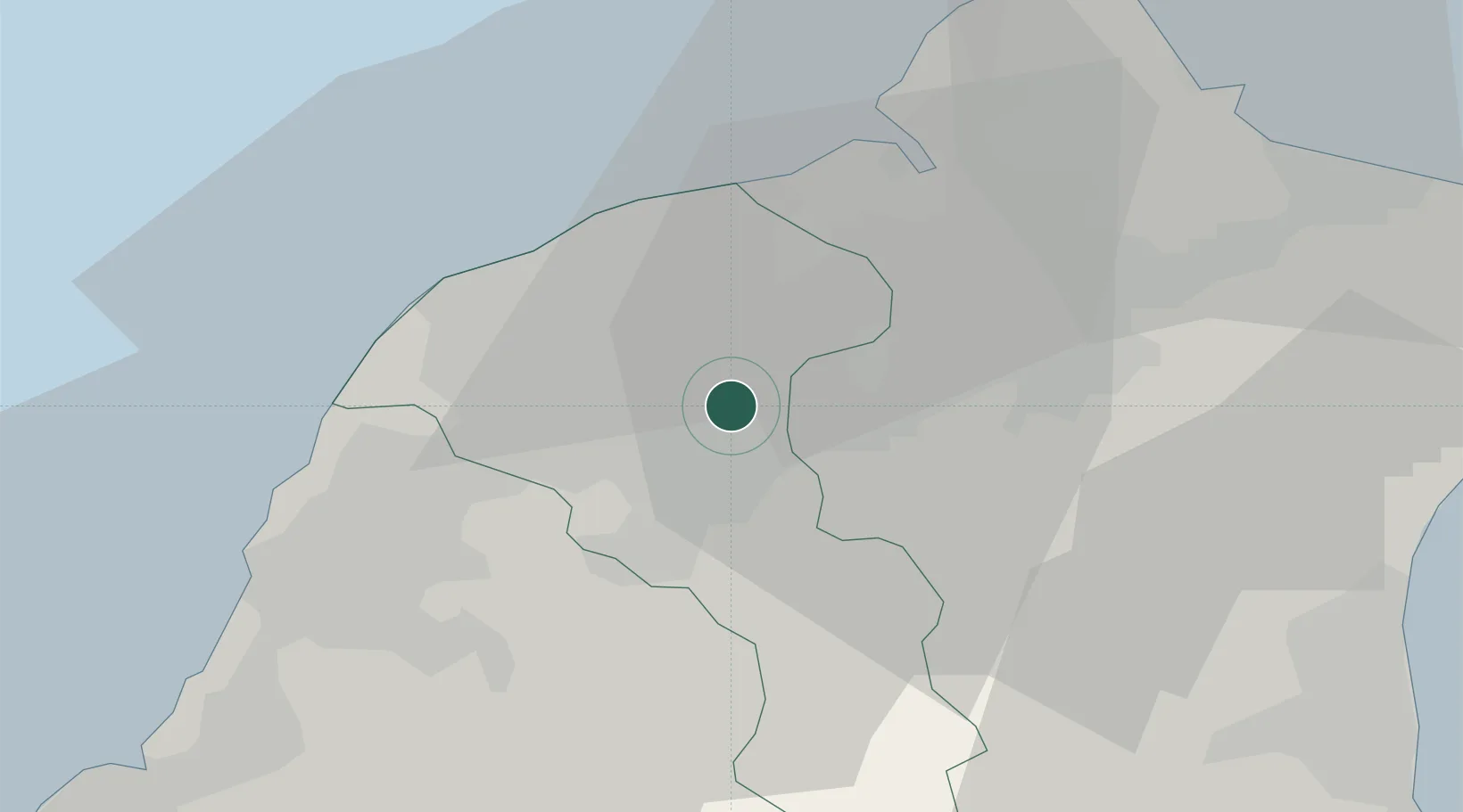
Nearby Logistics Neighbours

Cities
  1. 1Taoyuan5 km
  2. 2Sha-lun18 km
  3. 3Hukou24 km
  4. 4Bali25 km
  5. 5Chu-pei31 km
Nearest neighbours — logibook spatial index (haversine) over the source coordinates
Ports
  1. 1Tan-Shui29 km
  2. 2Chi-Lung53 km
  3. 3Su-Ao71 km
  4. 4Tai-Chung Kang107 km
  5. 5Hua-Lien Kang112 km
Nearest neighbours — logibook spatial index (haversine) over the source coordinates
Airports
  1. 1Longtan Air Base12 km
  2. 2Taiwan Taoyuan International Airport15 km
  3. 3Taipei Songshan International Airport30 km
  4. 4Hsinchu Air Base38 km
  5. 5Taichung International Airport / Ching Chuang Kang Air Base101 km
Nearest neighbours — logibook spatial index (haversine) over the source coordinates
Trade Zones
  1. 1Taoyuan International Airport Free Trade Zone15 km
  2. 2Port Of Taipei Free Trade Zone25 km
  3. 3Port Of Keelung Free Trade Zone52 km
  4. 4Port Of Suao Free Trade Zone71 km
  5. 5Taichung Export Processing Zone100 km
Nearest neighbours — logibook spatial index (haversine) over the source coordinates
DatabookThe Record of Consolidated Knowledge
Taiwan beyond logistics?
Browse databook

All Sources

LocationsUN/LOCODE
UN/LOCODE — free
Portsthe NGA World Port Index
Public domain (US gov)
AirportsOurAirports
Public domain
Trade Zonesthe World Bank SEZ database
CC BY 4.0
Trade ZonesOpen Zone Map
CC BY
← Taiwan locations