Free Trade Zone · Taiwan

Port Of Taipei Free Trade Zone Active
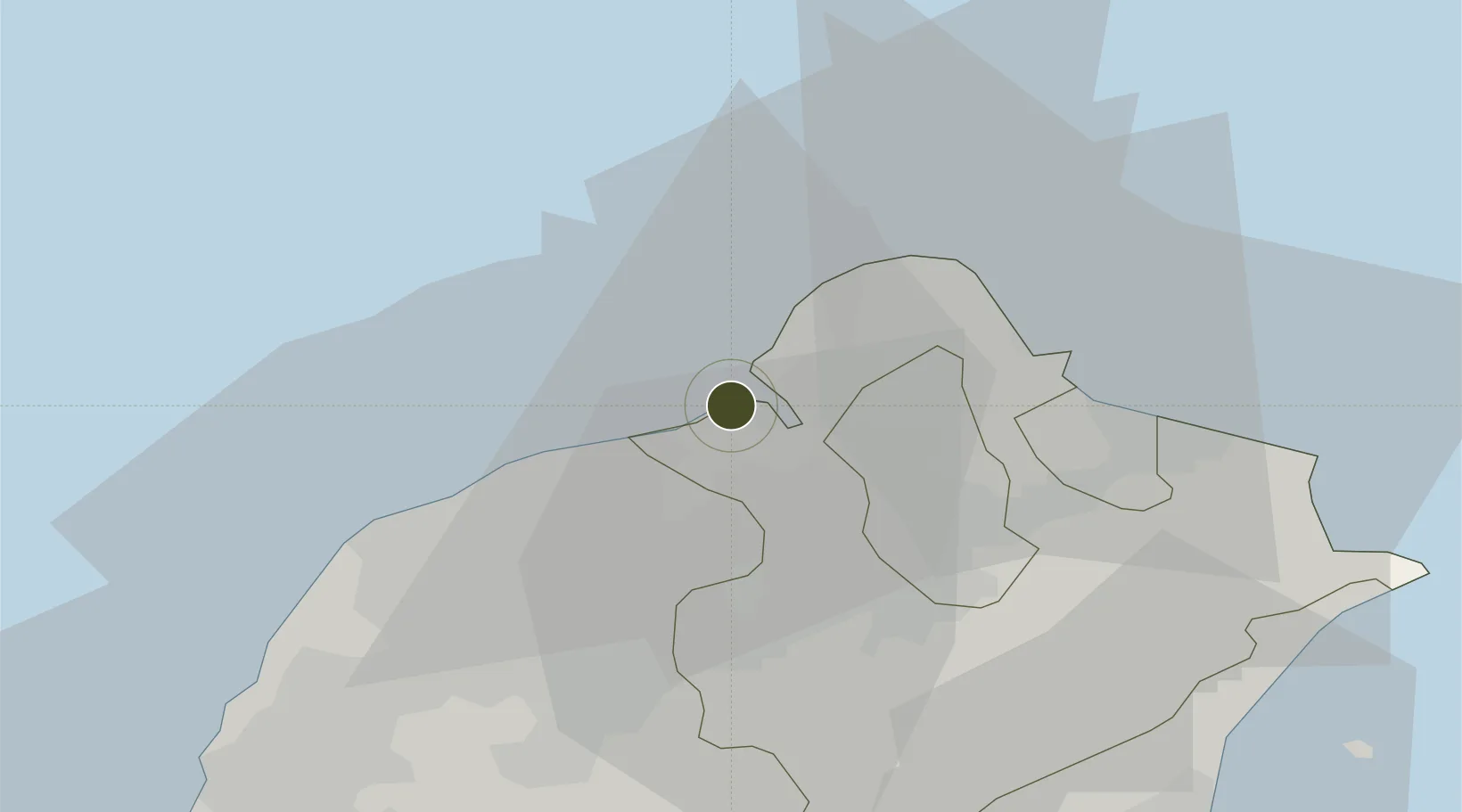
25.1523°, 121.3792°
132 ha
Zone area
4.0 km
Nearest port
16.9 km
Nearest airport

Gateway access

Nearest neighbours — logibook spatial index (haversine) over the source coordinates

Zone profile

Zone type
Free Trade Zone
Open Zone Map
Region
New Taipei City
Open Zone Map
Status
Active
Open Zone Map
Management
Public
Open Zone Map
Operator
Taiwan International Ports Corporation Ltd.
Open Zone Map
Legal framework
Act for the Establishment and Management of Free Trade zones
Open Zone Map

Location

Location of ozm-4392
Natural Earth 10m (public domain) · New Taipei City · ozm-4392 · 25.15, 121.38GoogleOSMYandex

Nearby Logistics Neighbours

Ports
  1. 1Tan-Shui4 km
  2. 2Chi-Lung39 km
  3. 3Su-Ao79 km
  4. 4Tai-Chung Kang130 km
  5. 5Hua-Lien Kang132 km
Nearest neighbours — logibook spatial index (haversine) over the source coordinates
Airports
  1. 1Taiwan Taoyuan International Airport17 km
  2. 2Taipei Songshan International Airport20 km
  3. 3Longtan Air Base36 km
  4. 4Hsinchu Air Base58 km
  5. 5Taichung International Airport / Ching Chuang Kang Air Base125 km
Nearest neighbours — logibook spatial index (haversine) over the source coordinates
Cities
  1. 1Bali2 km
  2. 2Sha-lun17 km
  3. 3Taipei19 km
  4. 4Taoyuan24 km
  5. 5Bade City25 km
Nearest neighbours — logibook spatial index (haversine) over the source coordinates
Trade Zones
  1. 1Taoyuan International Airport Free Trade Zone17 km
  2. 2Port Of Keelung Free Trade Zone37 km
  3. 3Port Of Suao Free Trade Zone79 km
  4. 4Taichung Export Processing Zone124 km
  5. 5Port Of Taichung Free Trade Zone130 km
Nearest neighbours — logibook spatial index (haversine) over the source coordinates
DatabookThe Record of Consolidated Knowledge
Taiwan beyond logistics?
Browse databook

All Sources

Trade ZonesOpen Zone Map
CC BY
Portsthe NGA World Port Index
Public domain (US gov)
AirportsOurAirports
Public domain
LocationsUN/LOCODE
UN/LOCODE — free
← Taiwan trade zones