Large airport · Taiwan

Taipei Songshan International AirportRCSS
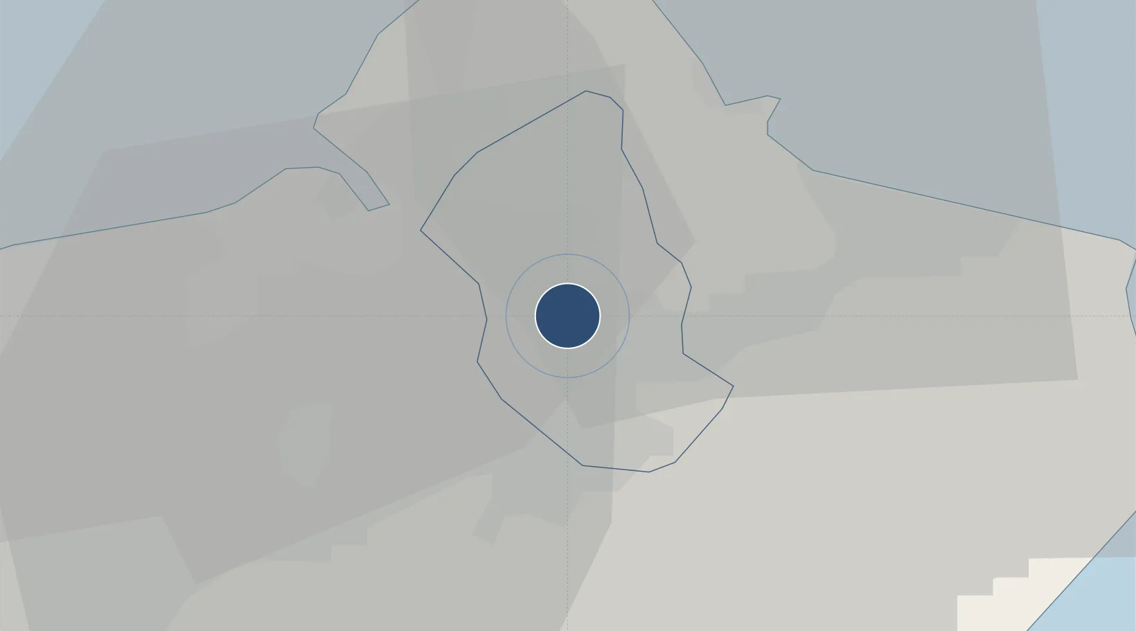
25.0672°, 121.5528°
8,547 ft
Longest runway
1
Runways
18 ft
Elevation

Runway & Layout

Taipei Songshan International Airport runway & taxiway layout
Runway & taxiway layout — OpenStreetMap (ODbL) / OurAirports

Radio Frequencies

ATIS
127.4 MHz
TWR
118.1 MHz
GND
121.9 MHz
CLD
121.2 MHz
CLNC DEL
APP
119.7 MHz
TAIPEI APP
OurAirports

Navaids

AP NDB Anpu 250 kHz
APU VOR-DME Anpu 112.50 MHz
LK NDB Lk 335 kHz
LKU TACAN Sungshan 114.50 MHz
LU NDB Lu 357 kHz
O NDB O 295 kHz
SG NDB Sg 310 kHz
SW NDB Sw 385 kHz
OurAirports

Runways · 1

RunwayDimensions SurfaceTrue headingLit
10/28 8,547 × 197ft Asphalt 092°
OurAirports

Airport Specifications

IATA code
TSA
OurAirports
ICAO code
RCSS
OurAirports
Airport class
Large airport
OurAirports
Scheduled service
Yes
OurAirports
Runway surface
Asphalt
OurAirports
Served city
Taipei (Songshan)
OurAirports

Location

Location of RCSS
Natural Earth 10m (public domain) · Taipei City · RCSS · 25.07, 121.55GoogleOSMYandex

Nearby Logistics Neighbours

Airports
  1. 1Taiwan Taoyuan International Airport32 km
  2. 2Longtan Air Base40 km
  3. 3Hsinchu Air Base68 km
  4. 4Hualien Chiashan Airport116 km
  5. 5Taichung International Airport / Ching Chuang Kang Air Base130 km
Nearest neighbours — logibook spatial index (haversine) over the source coordinates
Cities
  1. 1Taipei8 km
  2. 2Wu-tu12 km
  3. 3Keelung (Chilung)14 km
  4. 4Bali18 km
  5. 5Bade City30 km
Nearest neighbours — logibook spatial index (haversine) over the source coordinates
Ports
  1. 1Tan-Shui20 km
  2. 2Chi-Lung23 km
  3. 3Su-Ao61 km
  4. 4Hua-Lien Kang121 km
  5. 5Tai-Chung Kang136 km
Nearest neighbours — logibook spatial index (haversine) over the source coordinates
Trade Zones
  1. 1Port Of Taipei Free Trade Zone20 km
  2. 2Port Of Keelung Free Trade Zone22 km
  3. 3Taoyuan International Airport Free Trade Zone32 km
  4. 4Port Of Suao Free Trade Zone61 km
  5. 5Taichung Export Processing Zone128 km
Nearest neighbours — logibook spatial index (haversine) over the source coordinates
DatabookThe Record of Consolidated Knowledge
Taiwan beyond logistics?
Browse databook

All Sources

AirportsOurAirports
Public domain
Portsthe NGA World Port Index
Public domain (US gov)
LocationsUN/LOCODE
UN/LOCODE — free
Trade Zonesthe World Bank SEZ database
CC BY 4.0
Trade ZonesOpen Zone Map
CC BY
InfrastructureOpenStreetMap
ODbL 1.0
← Taiwan airports