Medium airport · Myanmar (Burma)

Tachileik AirportVYTL
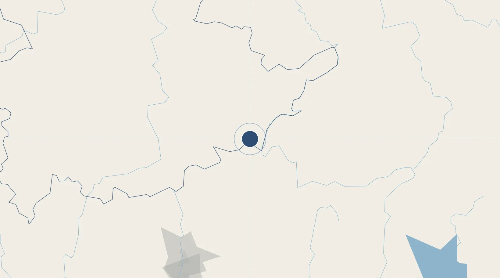
20.4838°, 99.9354°
7,002 ft
Longest runway
1
Runways
1,280 ft
Elevation

Runway & Layout

Tachileik Airport runway & taxiway layout
Runway & taxiway layout — OpenStreetMap (ODbL) / OurAirports

Radio Frequencies

TWR
118.7 MHz
OurAirports

Navaids

TL NDB Tachileik 375 kHz
OurAirports

Runways · 1

RunwayDimensions SurfaceTrue headingLit
04/22 7,002 × 102ft Bitumen 038°
OurAirports

Airport Specifications

IATA code
THL
OurAirports
ICAO code
VYTL
OurAirports
Airport class
Medium airport
OurAirports
Scheduled service
Yes
OurAirports
Runway surface
Bitumen
OurAirports
Served city
Tachileik
OurAirports

Location

Location of VYTL
Natural Earth 10m (public domain) · Shan · VYTL · 20.48, 99.94GoogleOSMYandex

Nearby Logistics Neighbours

Airports
  1. 1Bokeo International Airport30 km
  2. 2Mae Fah Luang - Chiang Rai International Airport59 km
  3. 3Mong Hsat Airport71 km
  4. 4Kengtung Airport96 km
  5. 5Luang Namtha Airport162 km
Nearest neighbours — logibook spatial index (haversine) over the source coordinates
Cities
  1. 1Chiang Saen Customs House23 km
  2. 2Nateuy187 km
  3. 3Jinghong193 km
  4. 4Boten195 km
  5. 5Oudomxay214 km
Nearest neighbours — logibook spatial index (haversine) over the source coordinates
Ports
  1. 1Rangoon573 km
  2. 2Nghe Tinh640 km
  3. 3Bassein685 km
  4. 4Hai Phong704 km
  5. 5Sittwe735 km
Nearest neighbours — logibook spatial index (haversine) over the source coordinates
Trade Zones
  1. 1Golden Triangle Special Economic Zone21 km
  2. 2Chiang Rai Special Economic Zone64 km
  3. 3Boten Special Economic Zone193 km
  4. 4Boten Beautiful Land Specific Economic Zone196 km
  5. 5Menglian Meng-A Border Economic Cooperation Zone209 km
Nearest neighbours — logibook spatial index (haversine) over the source coordinates
DatabookThe Record of Consolidated Knowledge
Myanmar (Burma) beyond logistics?
Browse databook

All Sources

AirportsOurAirports
Public domain
Portsthe NGA World Port Index
Public domain (US gov)
LocationsUN/LOCODE
UN/LOCODE — free
Trade Zonesthe World Bank SEZ database
CC BY 4.0
Trade ZonesOpen Zone Map
CC BY
InfrastructureOpenStreetMap
ODbL 1.0
← Myanmar (Burma) airports