Medium airport · Myanmar (Burma)

Kengtung AirportVYKG
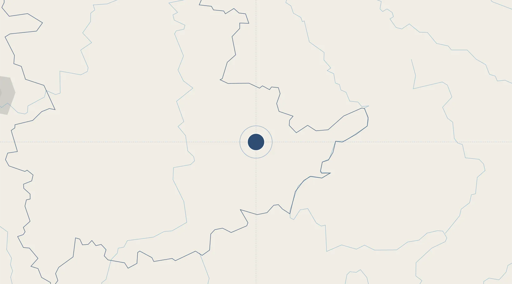
21.3016°, 99.6360°
7,815 ft
Longest runway
1
Runways
2,798 ft
Elevation

Runway & Layout

Kengtung Airport runway & taxiway layout
Runway & taxiway layout — OpenStreetMap (ODbL) / OurAirports

Radio Frequencies

TWR
118.7 MHz
OurAirports

Navaids

KG NDB Kengtung 400 kHz
OurAirports

Runways · 1

RunwayDimensions SurfaceTrue headingLit
12/30 7,815 × 75ft Asphalt 121°
OurAirports

Airport Specifications

IATA code
KET
OurAirports
ICAO code
VYKG
OurAirports
Airport class
Medium airport
OurAirports
Scheduled service
Yes
OurAirports
Runway surface
Asphalt
OurAirports
Served city
Kengtung
OurAirports

Location

Location of VYKG
Natural Earth 10m (public domain) · Shan · VYKG · 21.30, 99.64GoogleOSMYandex

Nearby Logistics Neighbours

Airports
  1. 1Mong Hsat Airport96 km
  2. 2Tachileik Airport96 km
  3. 3Bokeo International Airport122 km
  4. 4Lancang Jingmai Airport125 km
  5. 5Xishuangbanna Gasa International Airport138 km
Nearest neighbours — logibook spatial index (haversine) over the source coordinates
Cities
  1. 1Chiang Saen Customs House118 km
  2. 2Jinghong144 km
  3. 3Nateuy209 km
  4. 4Boten211 km
  5. 5Simao216 km
Nearest neighbours — logibook spatial index (haversine) over the source coordinates
Ports
  1. 1Rangoon622 km
  2. 2Nghe Tinh700 km
  3. 3Sittwe713 km
  4. 4Bassein720 km
  5. 5Hai Phong732 km
Nearest neighbours — logibook spatial index (haversine) over the source coordinates
Trade Zones
  1. 1Menglian Meng-A Border Economic Cooperation Zone115 km
  2. 2Golden Triangle Special Economic Zone115 km
  3. 3Chiang Rai Special Economic Zone156 km
  4. 4Boten Special Economic Zone208 km
  5. 5Boten Beautiful Land Specific Economic Zone211 km
Nearest neighbours — logibook spatial index (haversine) over the source coordinates
DatabookThe Record of Consolidated Knowledge
Myanmar (Burma) beyond logistics?
Browse databook

All Sources

AirportsOurAirports
Public domain
Portsthe NGA World Port Index
Public domain (US gov)
LocationsUN/LOCODE
UN/LOCODE — free
Trade Zonesthe World Bank SEZ database
CC BY 4.0
Trade ZonesOpen Zone Map
CC BY
InfrastructureOpenStreetMap
ODbL 1.0
← Myanmar (Burma) airports