Transport Functions
Multimodal
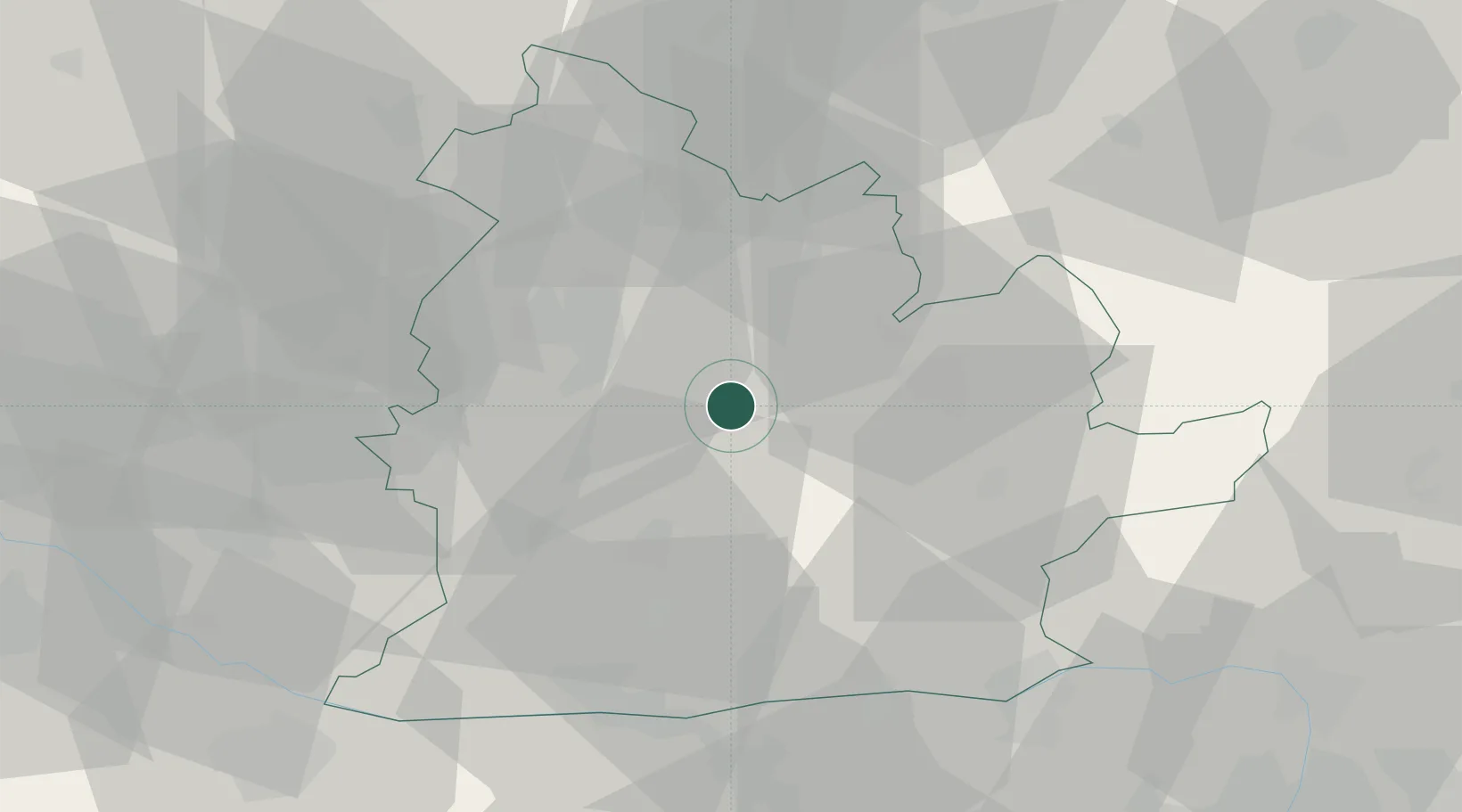
Hub Profile
Place type
Populated place
Region
Nitra Region
Population
407
Time zone
Europe/Bratislava
Elevation
139 m
Location
Nearby Logistics Neighbours
Ports
- 1Bakar432 km
- 2Rijeka Luka434 km
- 3Omisalj438 km
- 4Senj442 km
- 5Trieste447 km
Airports
- 1Piešťany Airport59 km
- 2Győr-Pér Airport74 km
- 3Sliač Airport79 km
- 4M. R. Štefánik Airport81 km
- 5Malacky/Kuchyňa Air Base90 km
Trade Zones
DatabookThe Record of Consolidated Knowledge
Slovakia beyond logistics?