Transport Functions
Rail
Road
Hub Profile
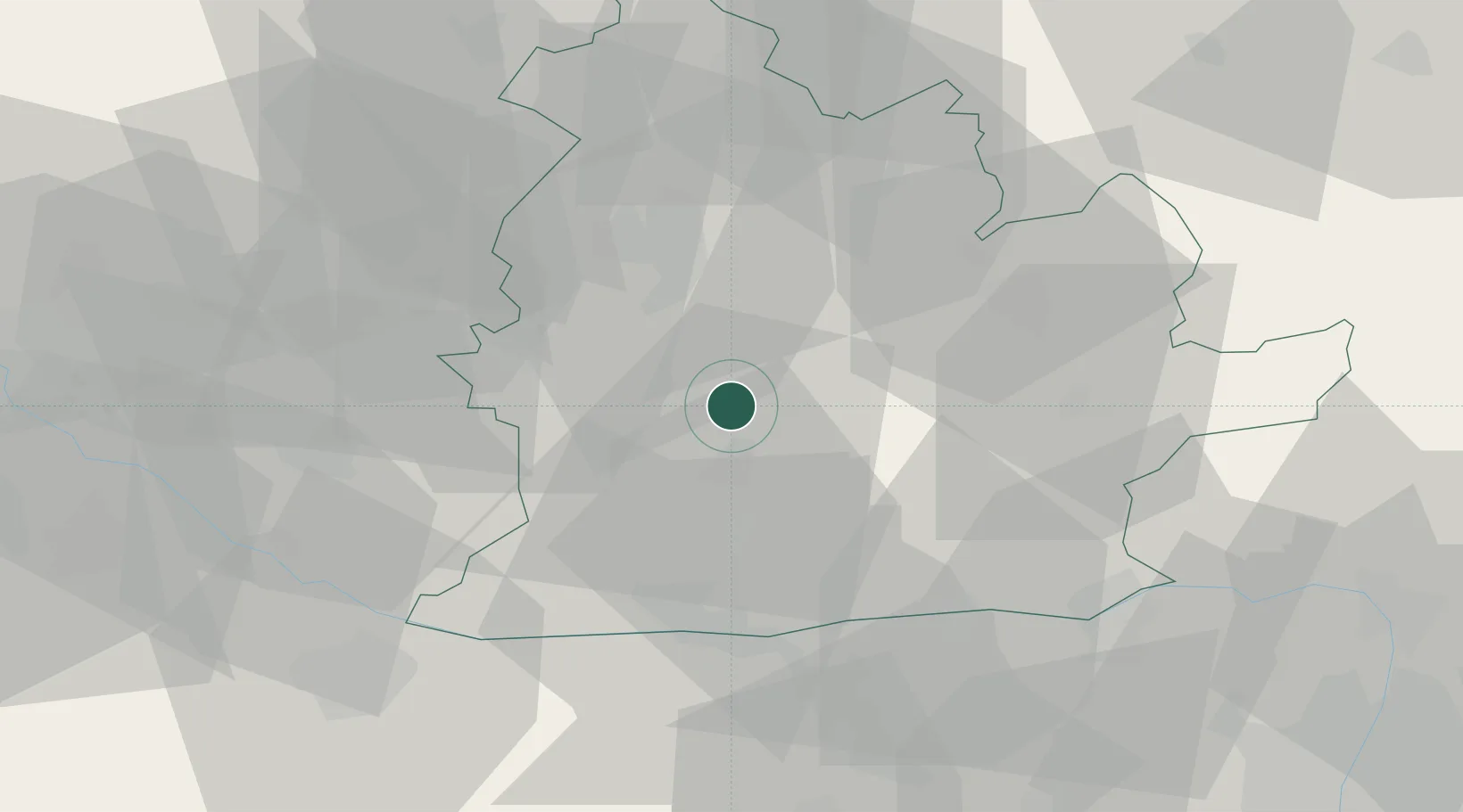
Place type
Populated place
Region
Nitra Region
Population
9,326
Time zone
Europe/Bratislava
Elevation
122 m
Location
Nearby Logistics Neighbours
Cities
- 1Berhida10 km
- 2Podhajska11 km
- 3Zitavce16 km
- 4Mojmírovce17 km
- 5Jesenské20 km
Ports
- 1Bakar416 km
- 2Rijeka Luka419 km
- 3Omisalj422 km
- 4Senj426 km
- 5Trieste432 km
Airports
- 1Győr-Pér Airport58 km
- 2Piešťany Airport66 km
- 3M. R. Štefánik Airport73 km
- 4Malacky/Kuchyňa Air Base87 km
- 5Sliač Airport94 km
Trade Zones
DatabookThe Record of Consolidated Knowledge
Slovakia beyond logistics?