Transport Functions
Port
Multimodal
Hub Profile
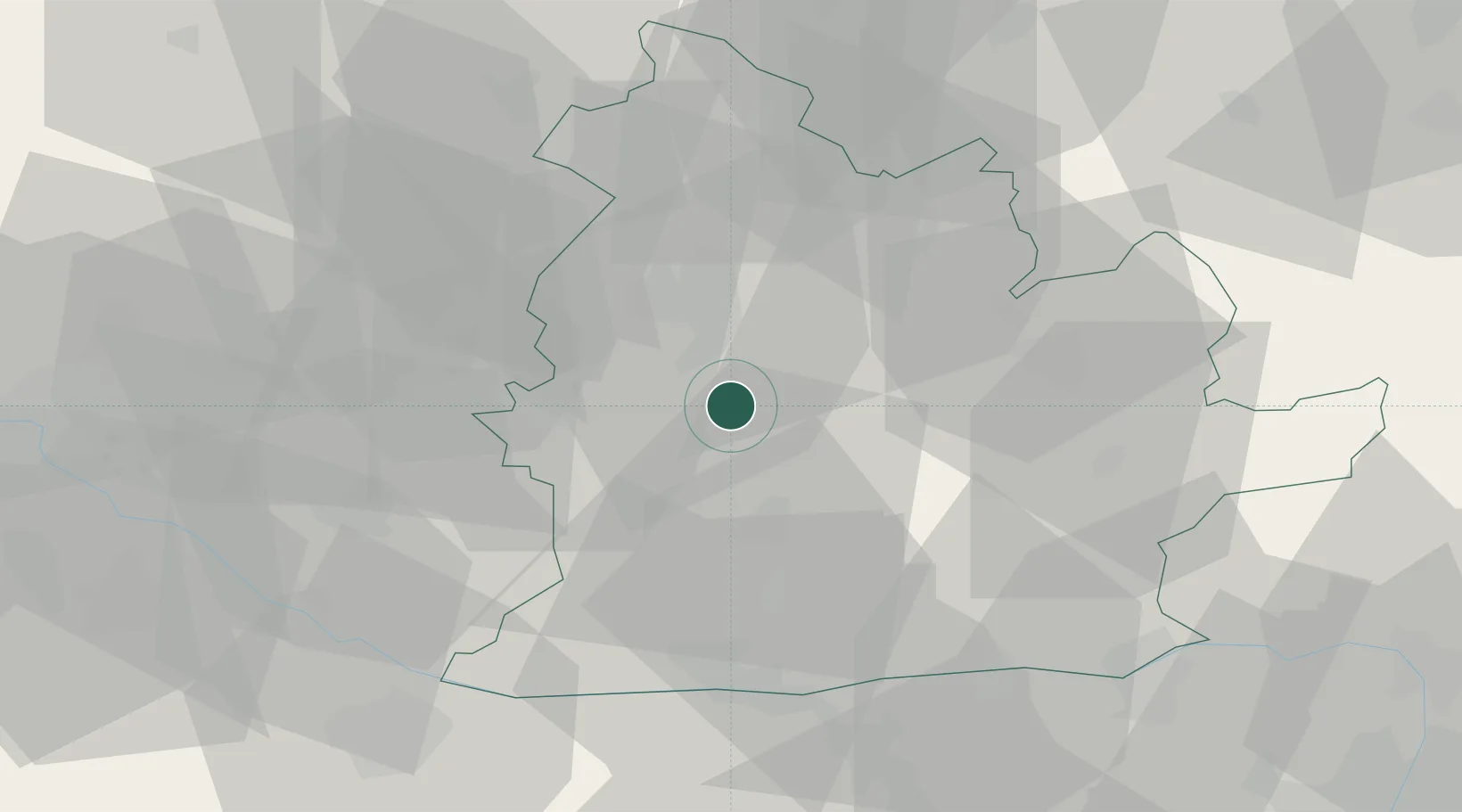
Place type
Populated place
Region
Veszprém
Population
5,822
Time zone
Europe/Budapest
Elevation
130 m
Location
Nearby Logistics Neighbours
Cities
- 1Mojmírovce7 km
- 2Surany10 km
- 3Zitavce13 km
- 4Podhajska17 km
- 5Nitrianske Hrnciarovce19 km
Ports
- 1Bakar421 km
- 2Rijeka Luka423 km
- 3Omisalj427 km
- 4Senj432 km
- 5Trieste435 km
Airports
- 1Piešťany Airport56 km
- 2Győr-Pér Airport65 km
- 3M. R. Štefánik Airport68 km
- 4Malacky/Kuchyňa Air Base80 km
- 5Sliač Airport91 km
Trade Zones
DatabookThe Record of Consolidated Knowledge
Hungary beyond logistics?