Transport Functions
Road
Multimodal
Hub Profile
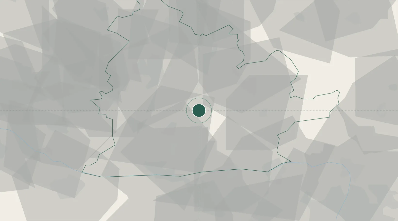
Place type
Populated place
Region
Nitra Region
Time zone
Europe/Bratislava
Elevation
137 m
Location
Nearby Logistics Neighbours
Cities
- 1Jesenské10 km
- 2Surany11 km
- 3Zitavce11 km
- 4Plave Vozokany12 km
- 5Berhida17 km
Ports
- 1Bakar425 km
- 2Rijeka Luka428 km
- 3Omisalj431 km
- 4Senj435 km
- 5Trieste442 km
Airports
- 1Győr-Pér Airport66 km
- 2Piešťany Airport69 km
- 3M. R. Štefánik Airport84 km
- 4Sliač Airport84 km
- 5Malacky/Kuchyňa Air Base96 km
Trade Zones
DatabookThe Record of Consolidated Knowledge
Slovakia beyond logistics?