UN/LOCODE hub · Slovakia
SKZIA
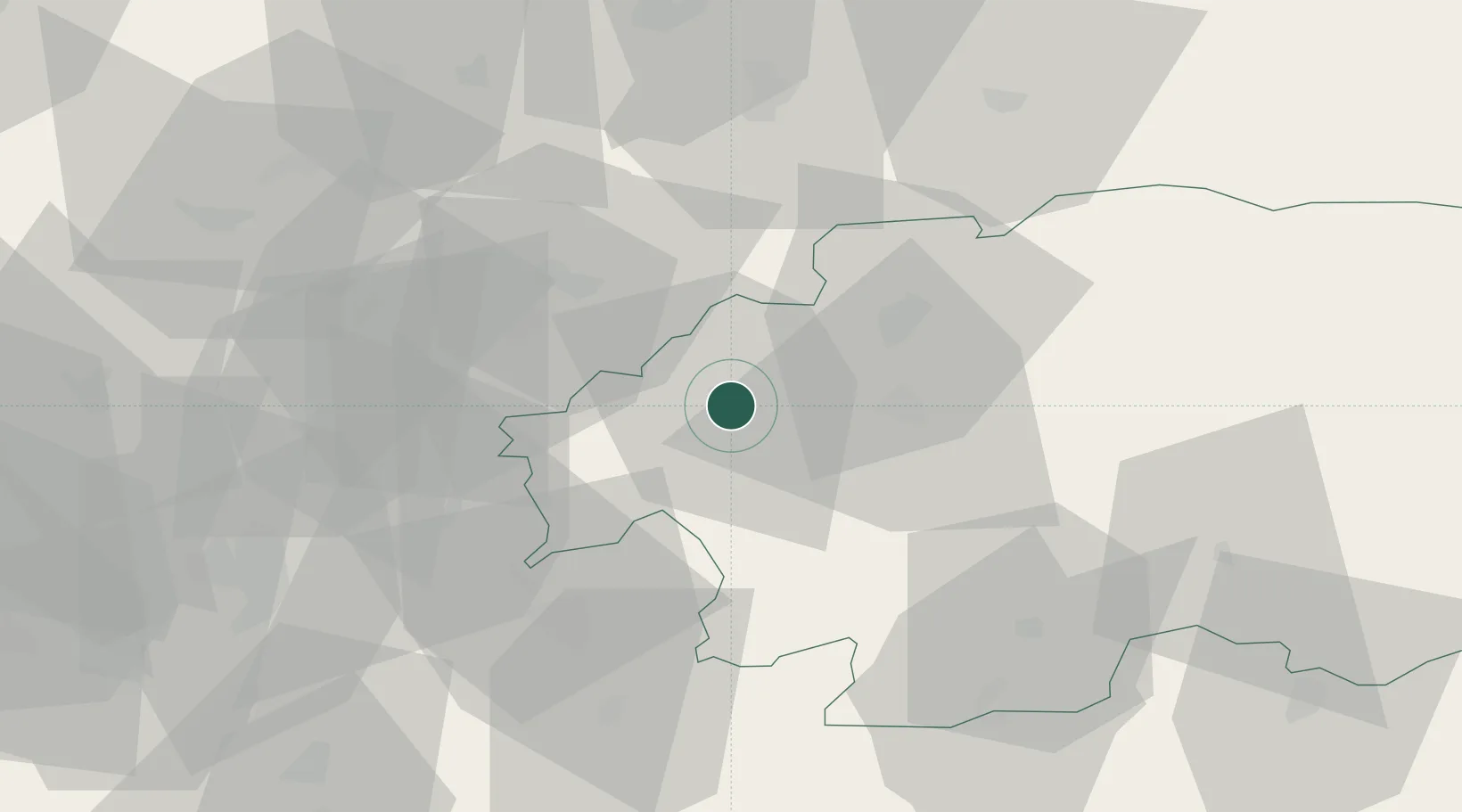
Ziar nad Hronom
48.5833°, 18.8667°
16,955
Population
3
Transport functions
Transport Functions
Port
Rail
Road
Hub Profile
Place type
Provincial seat
Region
Banská Bystrica Region
Population
16,955
Time zone
Europe/Bratislava
Elevation
279 m
Location
Nearby Logistics Neighbours
Cities
- 1Kremnica14 km
- 2Hodrusa14 km
- 3Zarnovica15 km
- 4Banska Stiavnica15 km
- 5Handlová18 km
Ports
- 1Bakar491 km
- 2Rijeka Luka494 km
- 3Omisalj498 km
- 4Senj501 km
- 5Trieste506 km
Airports
- 1Sliač Airport21 km
- 2Žilina-Dolný Hričov Airport75 km
- 3Piešťany Airport77 km
- 4Poprad-Tatry Airport114 km
- 5Kunovice Airport116 km
Trade Zones
- 1Göd Special Economic Zone103 km
- 2Veselí nad Moravou Industrial Zone117 km
- 3Holešov Industrial Zone127 km
- 4Mošnov Development Area135 km
- 5Karvinská Specialized Economic Zone145 km
DatabookThe Record of Consolidated Knowledge
Slovakia beyond logistics?