Transport Functions
Rail
Road
Hub Profile
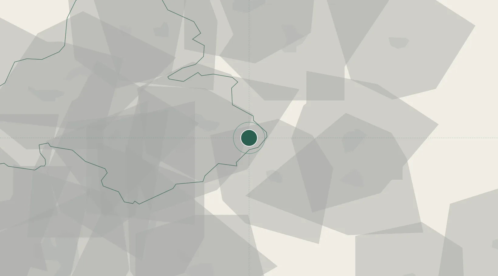
Place type
District seat
Region
Trenčín Region
Population
15,694
Time zone
Europe/Bratislava
Elevation
424 m
Location
Nearby Logistics Neighbours
Ports
- 1Bakar499 km
- 2Rijeka Luka501 km
- 3Omisalj505 km
- 4Senj510 km
- 5Trieste511 km
Airports
- 1Sliač Airport29 km
- 2Žilina-Dolný Hričov Airport57 km
- 3Piešťany Airport70 km
- 4Kunovice Airport103 km
- 5Poprad-Tatry Airport114 km
Trade Zones
- 1Veselí nad Moravou Industrial Zone105 km
- 2Holešov Industrial Zone111 km
- 3Mošnov Development Area116 km
- 4Göd Special Economic Zone121 km
- 5Karvinská Specialized Economic Zone127 km
DatabookThe Record of Consolidated Knowledge
Slovakia beyond logistics?