Transport Functions
Multimodal
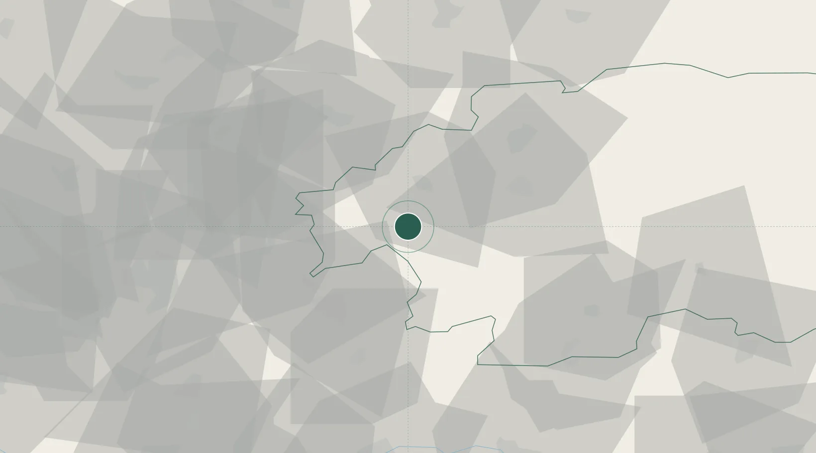
Hub Profile
Place type
Populated place
Region
Banská Bystrica Region
Time zone
Europe/Bratislava
Elevation
527 m
Location
Nearby Logistics Neighbours
Cities
- 1Zarnovica6 km
- 2Banska Stiavnica6 km
- 3Nová Bana13 km
- 4Ziar nad Hronom14 km
- 5Drzenice22 km
Ports
- 1Bakar479 km
- 2Rijeka Luka482 km
- 3Omisalj486 km
- 4Senj489 km
- 5Trieste495 km
Airports
- 1Sliač Airport30 km
- 2Piešťany Airport75 km
- 3Žilina-Dolný Hričov Airport87 km
- 4Kunovice Airport119 km
- 5Győr-Pér Airport120 km
Trade Zones
DatabookThe Record of Consolidated Knowledge
Slovakia beyond logistics?