Transport Functions
Multimodal
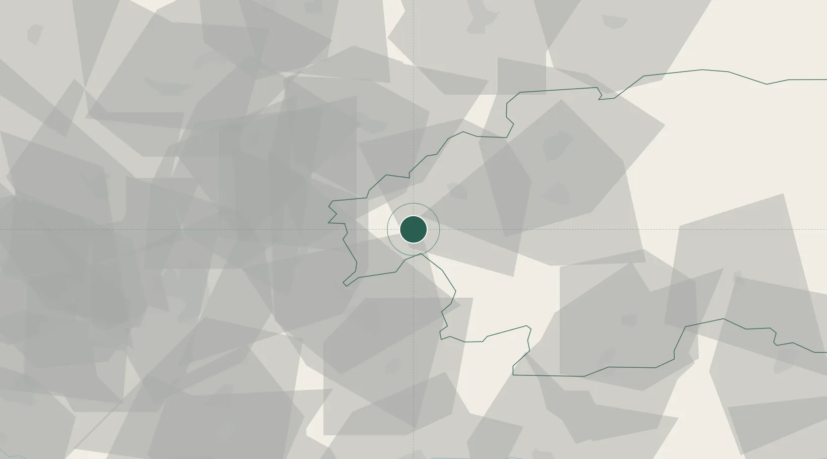
Hub Profile
Place type
Provincial seat
Region
Banská Bystrica Region
Population
5,699
Time zone
Europe/Bratislava
Elevation
230 m
Location
Nearby Logistics Neighbours
Cities
- 1Hodrusa6 km
- 2Nová Bana8 km
- 3Banska Stiavnica13 km
- 4Ziar nad Hronom15 km
- 5Drzenice22 km
Ports
- 1Bakar477 km
- 2Rijeka Luka479 km
- 3Omisalj483 km
- 4Senj487 km
- 5Trieste492 km
Airports
- 1Sliač Airport34 km
- 2Piešťany Airport68 km
- 3Žilina-Dolný Hričov Airport84 km
- 4Kunovice Airport113 km
- 5Győr-Pér Airport118 km
Trade Zones
DatabookThe Record of Consolidated Knowledge
Slovakia beyond logistics?