Transport Functions
Multimodal
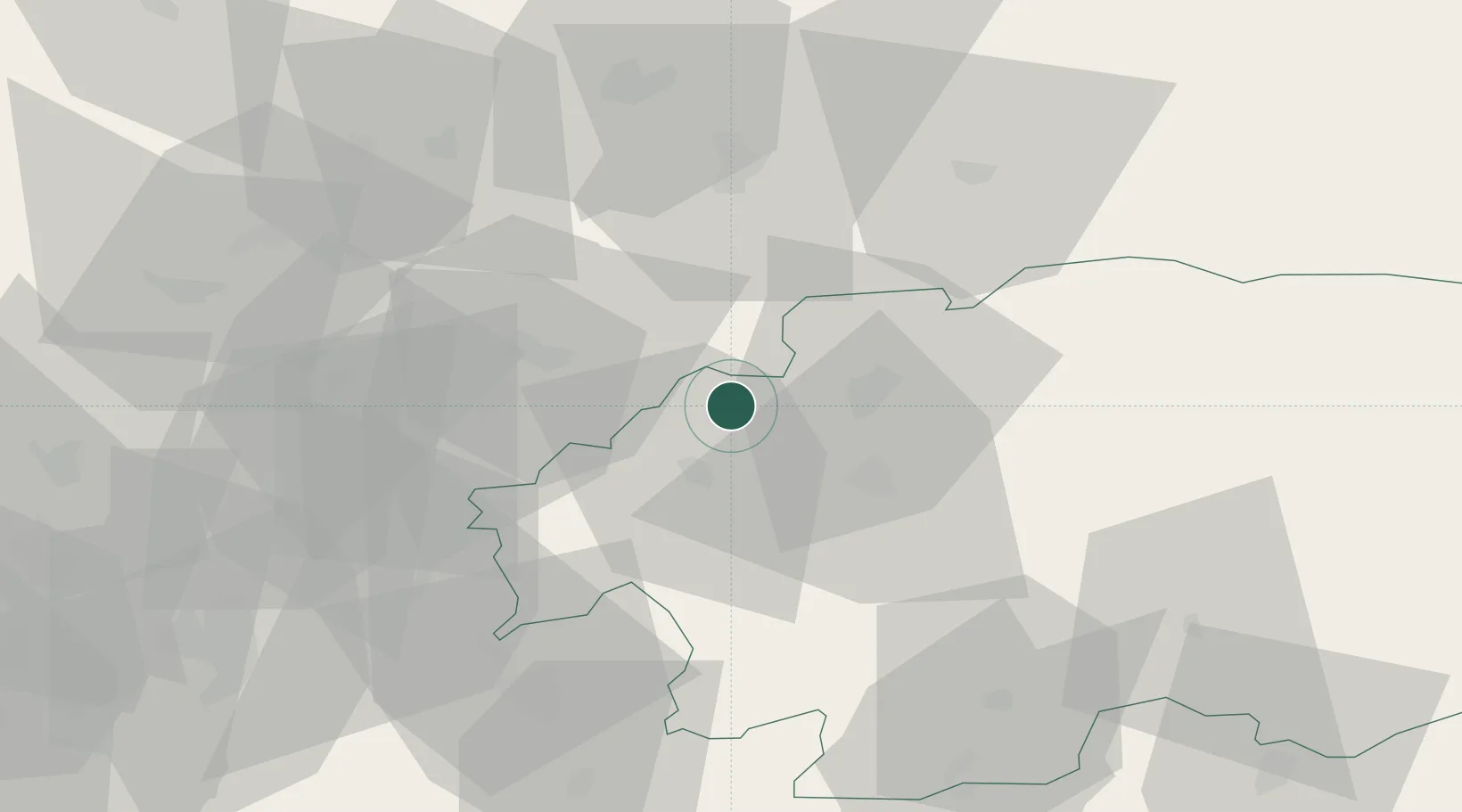
Hub Profile
Place type
Populated place
Region
Banská Bystrica Region
Population
4,783
Time zone
Europe/Bratislava
Elevation
550 m
Location
Nearby Logistics Neighbours
Cities
- 1Handlová12 km
- 2Ziar nad Hronom14 km
- 3Harmanec16 km
- 4Turcianske Teplice19 km
- 5Zvolen21 km
Ports
- 1Bakar503 km
- 2Rijeka Luka506 km
- 3Omisalj510 km
- 4Senj514 km
- 5Trieste517 km
Airports
- 1Sliač Airport17 km
- 2Žilina-Dolný Hričov Airport63 km
- 3Piešťany Airport80 km
- 4Poprad-Tatry Airport105 km
- 5Kunovice Airport114 km
Trade Zones
- 1Göd Special Economic Zone115 km
- 2Veselí nad Moravou Industrial Zone116 km
- 3Holešov Industrial Zone122 km
- 4Mošnov Development Area125 km
- 5Karvinská Specialized Economic Zone133 km
DatabookThe Record of Consolidated Knowledge
Slovakia beyond logistics?