UN/LOCODE hub · Slovakia
SKSZN
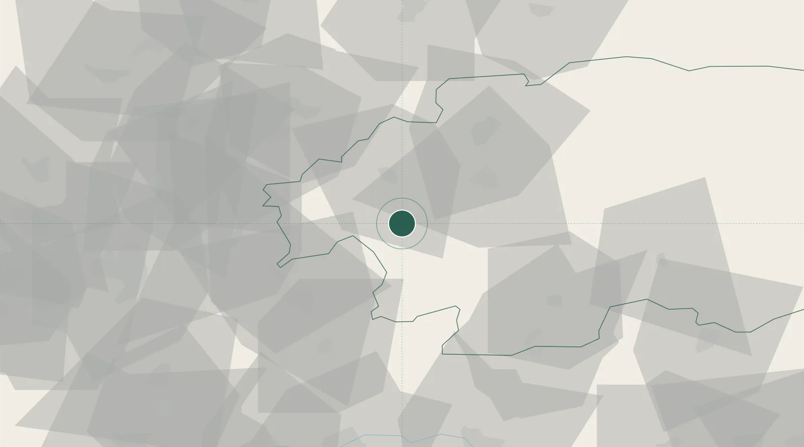
Banska Stiavnica
48.4500°, 18.9000°
9,426
Population
1
Transport functions
Transport Functions
Multimodal
Hub Profile
Place type
Provincial seat
Region
Banská Bystrica Region
Population
9,426
Time zone
Europe/Bratislava
Elevation
522 m
Location
Nearby Logistics Neighbours
Cities
- 1Hodrusa6 km
- 2Zarnovica13 km
- 3Ziar nad Hronom15 km
- 4Krupina17 km
- 5Nová Bana19 km
Ports
- 1Bakar482 km
- 2Rijeka Luka485 km
- 3Omisalj489 km
- 4Senj491 km
- 5Trieste499 km
Airports
- 1Sliač Airport27 km
- 2Piešťany Airport81 km
- 3Žilina-Dolný Hričov Airport90 km
- 4Budapest Liszt Ferenc International Airport117 km
- 5Poprad-Tatry Airport120 km
Trade Zones
DatabookThe Record of Consolidated Knowledge
Slovakia beyond logistics?