Transport Functions
Multimodal
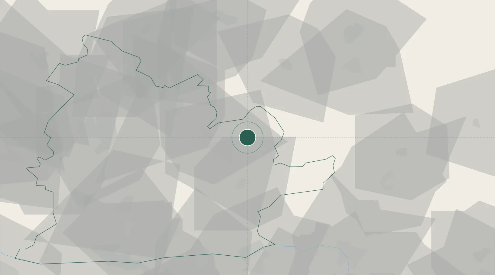
Hub Profile
Place type
Populated place
Region
Nitra Region
Time zone
Europe/Bratislava
Elevation
232 m
Location
Nearby Logistics Neighbours
Ports
- 1Bakar459 km
- 2Rijeka Luka461 km
- 3Omisalj465 km
- 4Senj468 km
- 5Trieste476 km
Airports
- 1Sliač Airport51 km
- 2Piešťany Airport75 km
- 3Győr-Pér Airport99 km
- 4Budapest Liszt Ferenc International Airport104 km
- 5Žilina-Dolný Hričov Airport106 km
Trade Zones
DatabookThe Record of Consolidated Knowledge
Slovakia beyond logistics?