UN/LOCODE hub · Slovakia
SKTUT
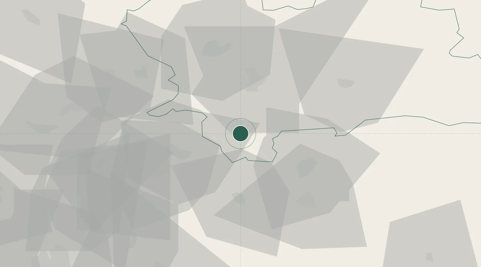
Turcianske Teplice
48.8667°, 18.8667°
6,213
Population
2
Transport functions
Transport Functions
Port
Road
Hub Profile
Place type
Provincial seat
Region
Žilina Region
Population
6,213
Time zone
Europe/Bratislava
Elevation
509 m
Location
Nearby Logistics Neighbours
Cities
- 1Harmanec15 km
- 2Pravenec16 km
- 3Handlová17 km
- 4Nitrianske Pravno17 km
- 5Kremnica19 km
Ports
- 1Bakar515 km
- 2Rijeka Luka517 km
- 3Omisalj521 km
- 4Trieste526 km
- 5Senj526 km
Airports
- 1Sliač Airport32 km
- 2Žilina-Dolný Hričov Airport45 km
- 3Piešťany Airport81 km
- 4Poprad-Tatry Airport103 km
- 5Kunovice Airport106 km
Trade Zones
- 1Mošnov Development Area107 km
- 2Veselí nad Moravou Industrial Zone109 km
- 3Holešov Industrial Zone109 km
- 4Karvinská Specialized Economic Zone114 km
- 5Göd Special Economic Zone134 km
DatabookThe Record of Consolidated Knowledge
Slovakia beyond logistics?