Transport Functions
Multimodal
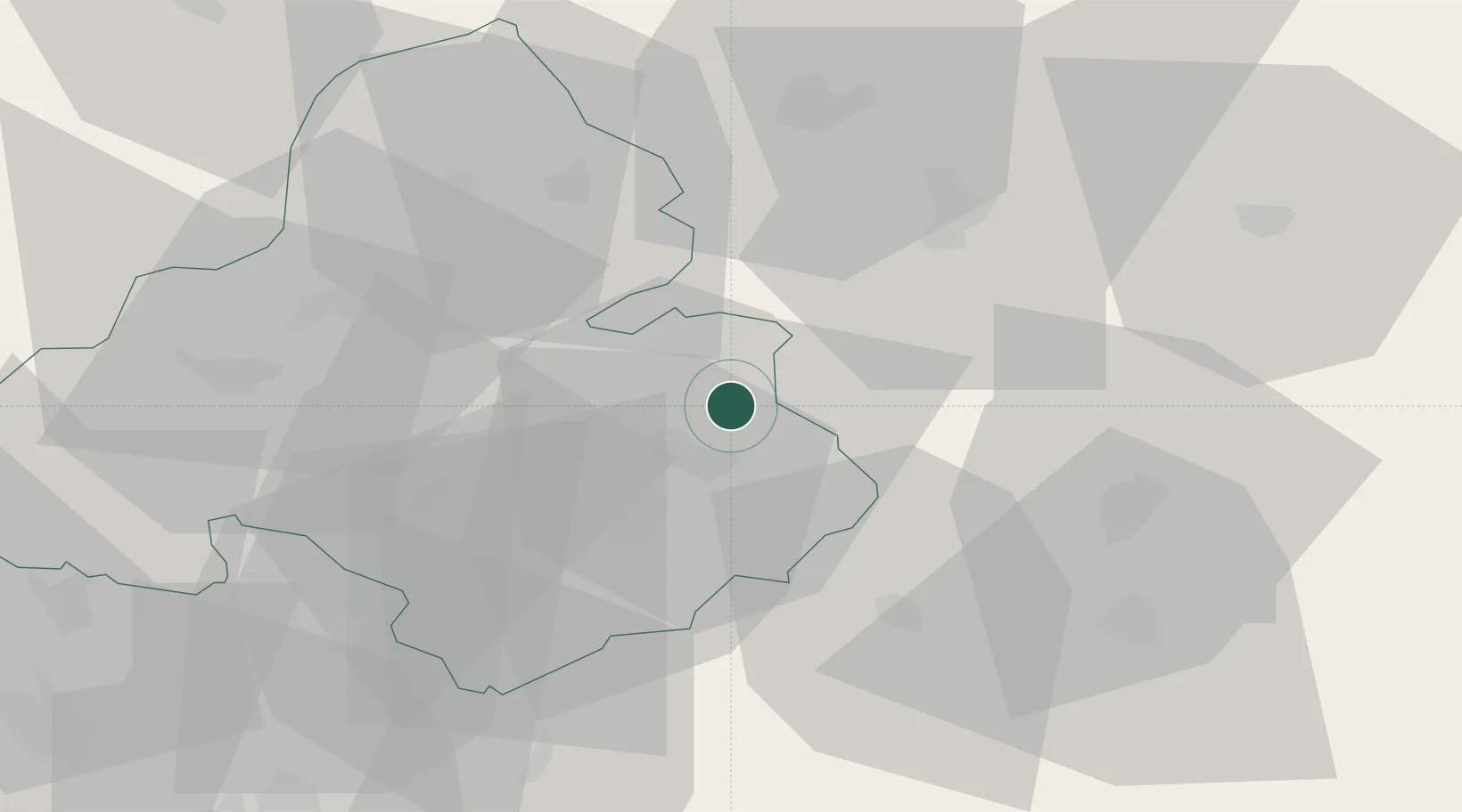
Hub Profile
Place type
Populated place
Region
Trenčín Region
Population
1,298
Time zone
Europe/Bratislava
Elevation
324 m
Location
Nearby Logistics Neighbours
Cities
- 1Nitrianske Pravno2 km
- 2Dubnica7 km
- 3Prievidza9 km
- 4Laskar14 km
- 5Handlová16 km
Ports
- 1Bakar503 km
- 2Rijeka Luka505 km
- 3Omisalj510 km
- 4Trieste513 km
- 5Monfalcone514 km
Airports
- 1Sliač Airport43 km
- 2Žilina-Dolný Hričov Airport43 km
- 3Piešťany Airport65 km
- 4Kunovice Airport91 km
- 5Leoš Janáček Airport Ostrava102 km
Trade Zones
DatabookThe Record of Consolidated Knowledge
Slovakia beyond logistics?