UN/LOCODE hub · Slovakia
SKSZV
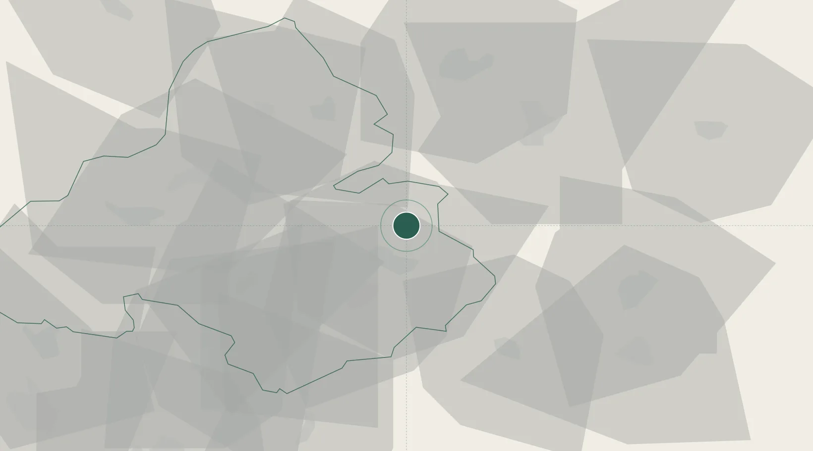
Nitrianske Pravno
48.8667°, 18.6333°
3,116
Population
1
Transport functions
Transport Functions
Multimodal
Hub Profile
Place type
Populated place
Region
Trenčín Region
Population
3,116
Time zone
Europe/Bratislava
Elevation
348 m
Location
Nearby Logistics Neighbours
Cities
- 1Pravenec2 km
- 2Dubnica8 km
- 3Prievidza11 km
- 4Laskar16 km
- 5Turcianske Teplice17 km
Ports
- 1Bakar504 km
- 2Rijeka Luka505 km
- 3Omisalj510 km
- 4Trieste514 km
- 5Monfalcone514 km
Airports
- 1Žilina-Dolný Hričov Airport41 km
- 2Sliač Airport45 km
- 3Piešťany Airport65 km
- 4Kunovice Airport89 km
- 5Leoš Janáček Airport Ostrava100 km
Trade Zones
DatabookThe Record of Consolidated Knowledge
Slovakia beyond logistics?