Transport Functions
Rail
Road
Hub Profile
Region
BC
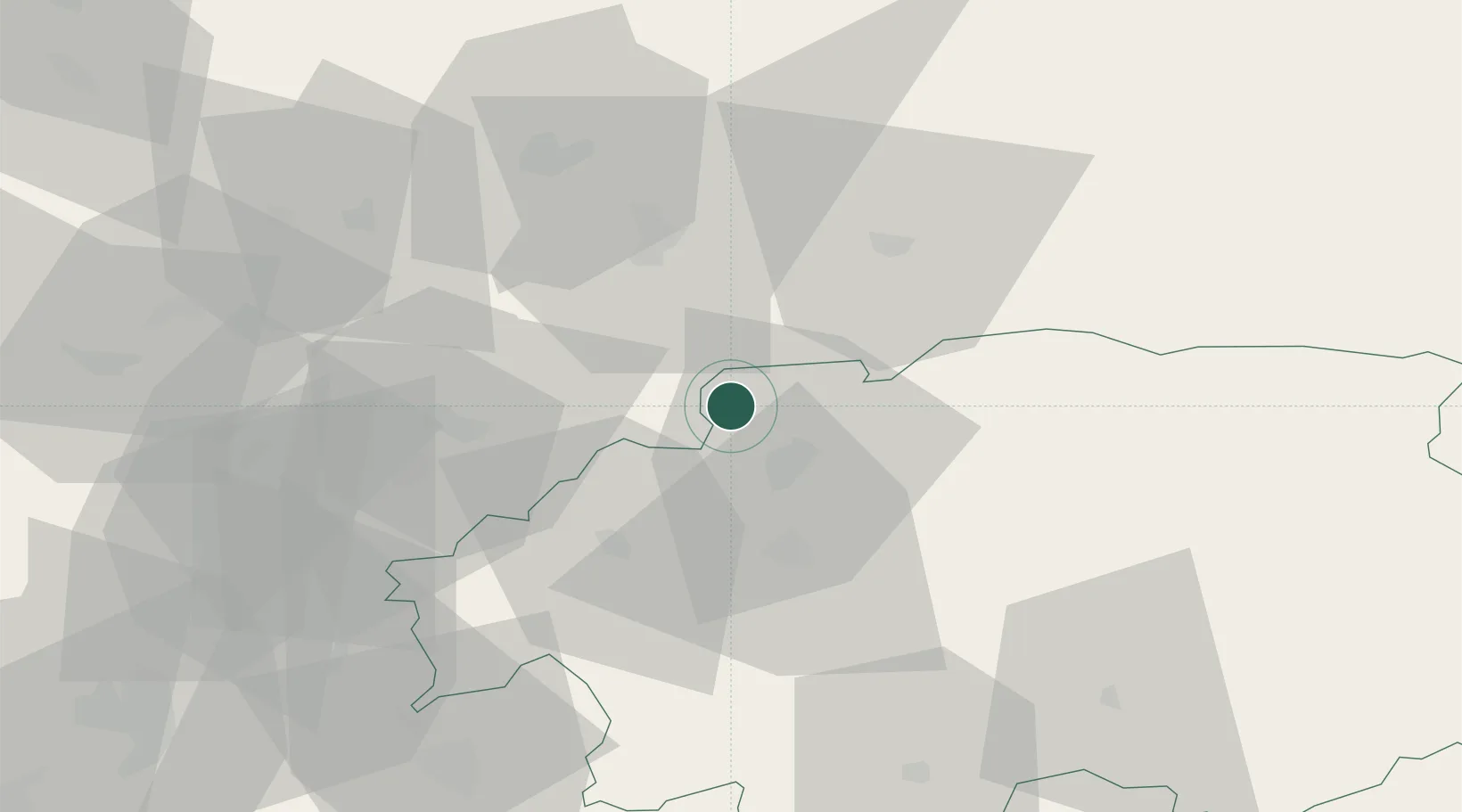
Location
Nearby Logistics Neighbours
Cities
- 1Turcianske Teplice15 km
- 2Kremnica16 km
- 3Slovenská Lupca18 km
- 4Handlová23 km
- 5Zvolen27 km
Ports
- 1Bakar519 km
- 2Rijeka Luka522 km
- 3Omisalj526 km
- 4Senj530 km
- 5Trieste533 km
Airports
- 1Sliač Airport21 km
- 2Žilina-Dolný Hričov Airport56 km
- 3Poprad-Tatry Airport92 km
- 4Piešťany Airport92 km
- 5Leoš Janáček Airport Ostrava119 km
Trade Zones
- 1Mošnov Development Area119 km
- 2Karvinská Specialized Economic Zone123 km
- 3Veselí nad Moravou Industrial Zone123 km
- 4Holešov Industrial Zone124 km
- 5Göd Special Economic Zone127 km
DatabookThe Record of Consolidated Knowledge
Slovakia beyond logistics?