Transport Functions
Rail
Road
Hub Profile
Place type
Provincial seat
Region
Nitra Region
Population
30,556
Time zone
Europe/Bratislava
Elevation
162 m
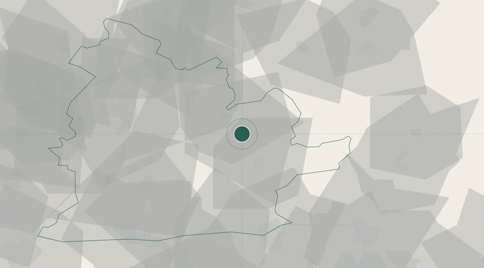
Location
Nearby Logistics Neighbours
Cities
- 1Tlmace9 km
- 2Drzenice11 km
- 3Jesenské15 km
- 4Sarovce18 km
- 5Plave Vozokany19 km
Ports
- 1Bakar448 km
- 2Rijeka Luka451 km
- 3Omisalj454 km
- 4Senj457 km
- 5Trieste466 km
Airports
- 1Sliač Airport61 km
- 2Piešťany Airport73 km
- 3Győr-Pér Airport88 km
- 4Budapest Liszt Ferenc International Airport101 km
- 5Tököl Airport101 km
Trade Zones
DatabookThe Record of Consolidated Knowledge
Slovakia beyond logistics?