UN/LOCODE hub · Slovakia
SKTEP
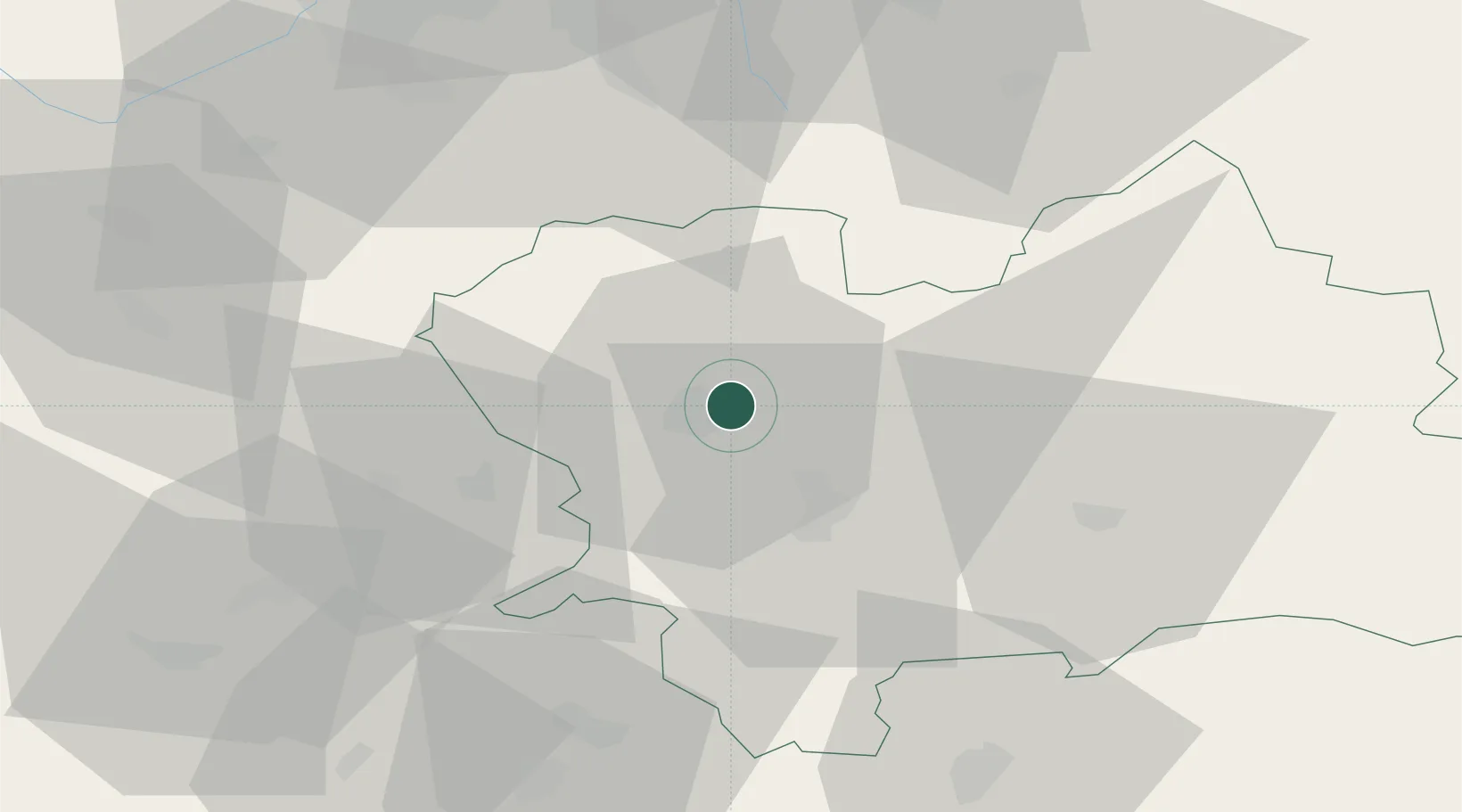
Teplicka nad Vahom
49.2333°, 18.8000°
4,296
Population
2
Transport functions
Transport Functions
Port
Multimodal
Hub Profile
Place type
Populated place
Region
Žilina Region
Population
4,296
Time zone
Europe/Bratislava
Elevation
342 m
Location
Nearby Logistics Neighbours
Cities
- 1Gbelany4 km
- 2Varín7 km
- 3Lietavska Lucka10 km
- 4Horný Hricov10 km
- 5Rajecke Teplice14 km
Ports
- 1Bakar543 km
- 2Rijeka Luka544 km
- 3Omisalj550 km
- 4Monfalcone550 km
- 5Trieste550 km
Airports
- 1Žilina-Dolný Hričov Airport14 km
- 2Sliač Airport71 km
- 3Leoš Janáček Airport Ostrava72 km
- 4Piešťany Airport98 km
- 5Kunovice Airport102 km
Trade Zones
DatabookThe Record of Consolidated Knowledge
Slovakia beyond logistics?