Transport Functions
Rail
Road
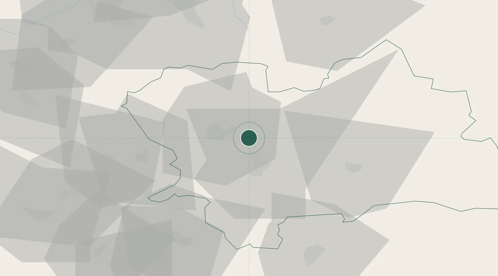
Hub Profile
Place type
Populated place
Region
Žilina Region
Population
3,853
Time zone
Europe/Bratislava
Elevation
365 m
Location
Nearby Logistics Neighbours
Cities
- 1Gbelany3 km
- 2Teplicka nad Vahom7 km
- 3Vrutky10 km
- 4Lietavska Lucka13 km
- 5Rajecke Teplice16 km
Ports
- 1Bakar544 km
- 2Rijeka Luka545 km
- 3Omisalj551 km
- 4Monfalcone552 km
- 5Trieste552 km
Airports
- 1Žilina-Dolný Hričov Airport20 km
- 2Sliač Airport65 km
- 3Leoš Janáček Airport Ostrava79 km
- 4Poprad-Tatry Airport100 km
- 5Piešťany Airport100 km
Trade Zones
DatabookThe Record of Consolidated Knowledge
Slovakia beyond logistics?