UN/LOCODE hub · Slovakia
SKTEL
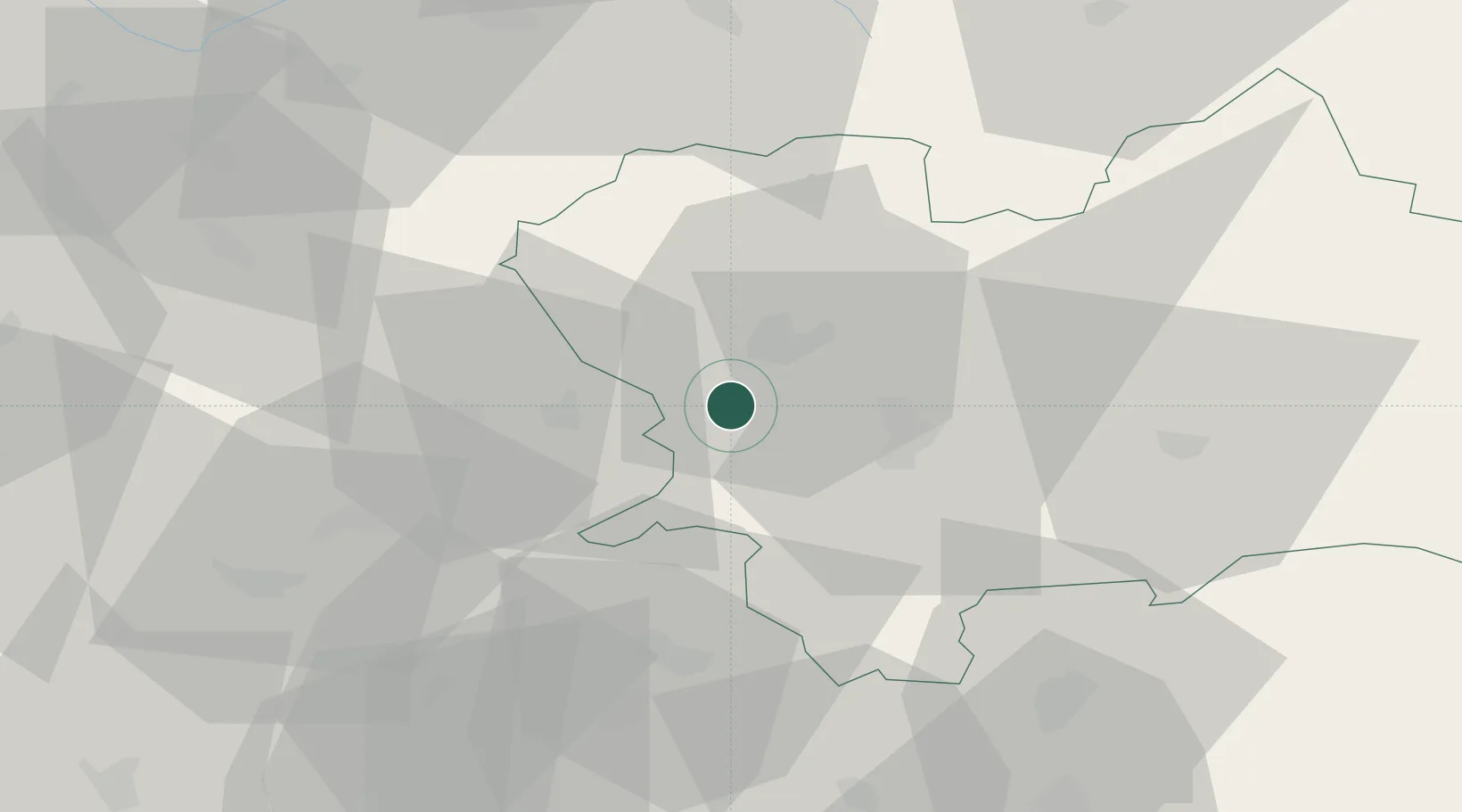
Rajecke Teplice
49.1333°, 18.6833°
3,023
Population
2
Transport functions
Transport Functions
Rail
Road
Hub Profile
Place type
Populated place
Region
Žilina Region
Population
3,023
Time zone
Europe/Bratislava
Elevation
422 m
Location
Nearby Logistics Neighbours
Cities
- 1Lietavska Lucka4 km
- 2Horný Hricov13 km
- 3Teplicka nad Vahom14 km
- 4Gbelany15 km
- 5Varín16 km
Ports
- 1Bakar529 km
- 2Rijeka Luka530 km
- 3Omisalj536 km
- 4Monfalcone536 km
- 5Trieste537 km
Airports
- 1Žilina-Dolný Hričov Airport12 km
- 2Sliač Airport64 km
- 3Leoš Janáček Airport Ostrava75 km
- 4Piešťany Airport84 km
- 5Kunovice Airport91 km
Trade Zones
DatabookThe Record of Consolidated Knowledge
Slovakia beyond logistics?