Transport Functions
Multimodal
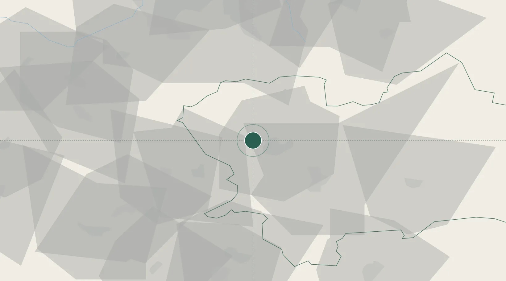
Hub Profile
Place type
Populated place
Region
Žilina Region
Time zone
Europe/Bratislava
Elevation
319 m
Location
Nearby Logistics Neighbours
Cities
- 1Vel'Ke Rovne8 km
- 2Teplicka nad Vahom10 km
- 3Lietavska Lucka10 km
- 4Rajecke Teplice13 km
- 5Gbelany14 km
Ports
- 1Bakar539 km
- 2Rijeka Luka540 km
- 3Monfalcone544 km
- 4Szczecin544 km
- 5Trieste545 km
Airports
- 1Žilina-Dolný Hričov Airport4 km
- 2Leoš Janáček Airport Ostrava64 km
- 3Sliač Airport76 km
- 4Kunovice Airport93 km
- 5Piešťany Airport93 km
Trade Zones
DatabookThe Record of Consolidated Knowledge
Slovakia beyond logistics?