Transport Functions
Multimodal
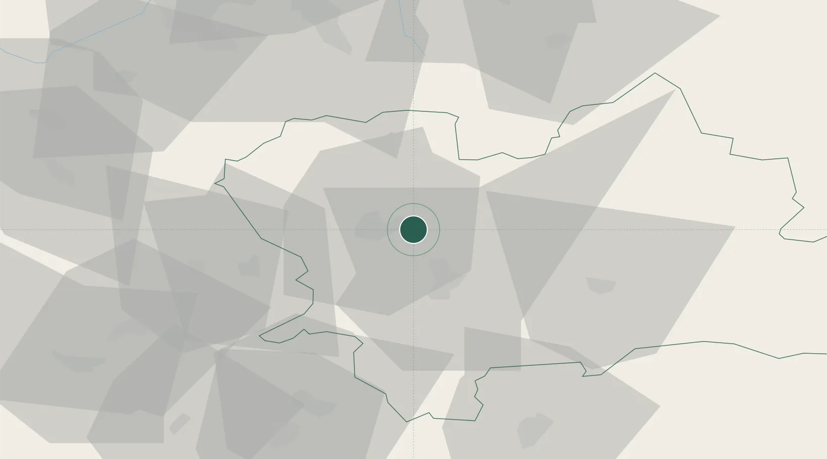
Hub Profile
Place type
Populated place
Region
Žilina Region
Time zone
Europe/Bratislava
Elevation
222 m
Location
Nearby Logistics Neighbours
Cities
- 1Varín3 km
- 2Teplicka nad Vahom4 km
- 3Lietavska Lucka11 km
- 4Vrutky12 km
- 5Horný Hricov14 km
Ports
- 1Bakar544 km
- 2Rijeka Luka545 km
- 3Omisalj551 km
- 4Monfalcone551 km
- 5Trieste552 km
Airports
- 1Žilina-Dolný Hričov Airport17 km
- 2Sliač Airport68 km
- 3Leoš Janáček Airport Ostrava76 km
- 4Piešťany Airport100 km
- 5Poprad-Tatry Airport103 km
Trade Zones
DatabookThe Record of Consolidated Knowledge
Slovakia beyond logistics?