Transport Functions
Multimodal
Hub Profile
Place type
Populated place
Region
Trenčín Region
Time zone
Europe/Bratislava
Elevation
296 m
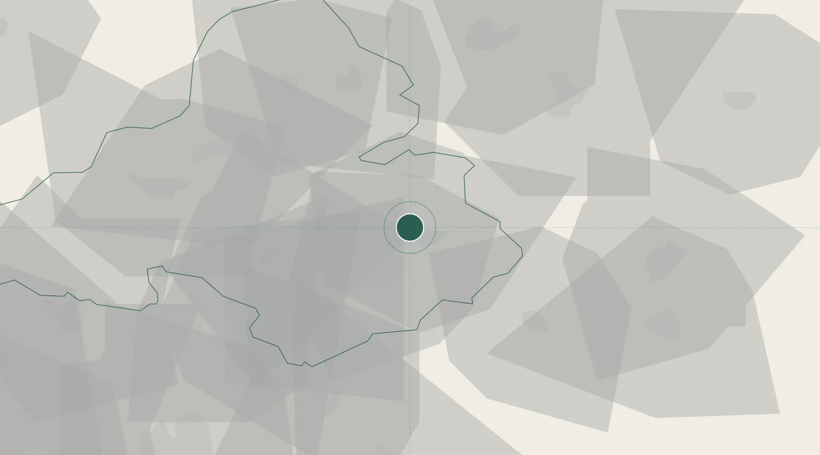
Location
Nearby Logistics Neighbours
Cities
- 1Prievidza5 km
- 2Pravenec7 km
- 3Laskar8 km
- 4Nitrianske Pravno8 km
- 5Handlová15 km
Ports
- 1Bakar495 km
- 2Rijeka Luka497 km
- 3Omisalj502 km
- 4Trieste506 km
- 5Monfalcone506 km
Airports
- 1Sliač Airport44 km
- 2Žilina-Dolný Hričov Airport48 km
- 3Piešťany Airport59 km
- 4Kunovice Airport87 km
- 5Leoš Janáček Airport Ostrava105 km
Trade Zones
DatabookThe Record of Consolidated Knowledge
Slovakia beyond logistics?