Transport Functions
Multimodal
Hub Profile
Place type
Populated place
Region
Trenčín Region
Time zone
Europe/Bratislava
Elevation
252 m
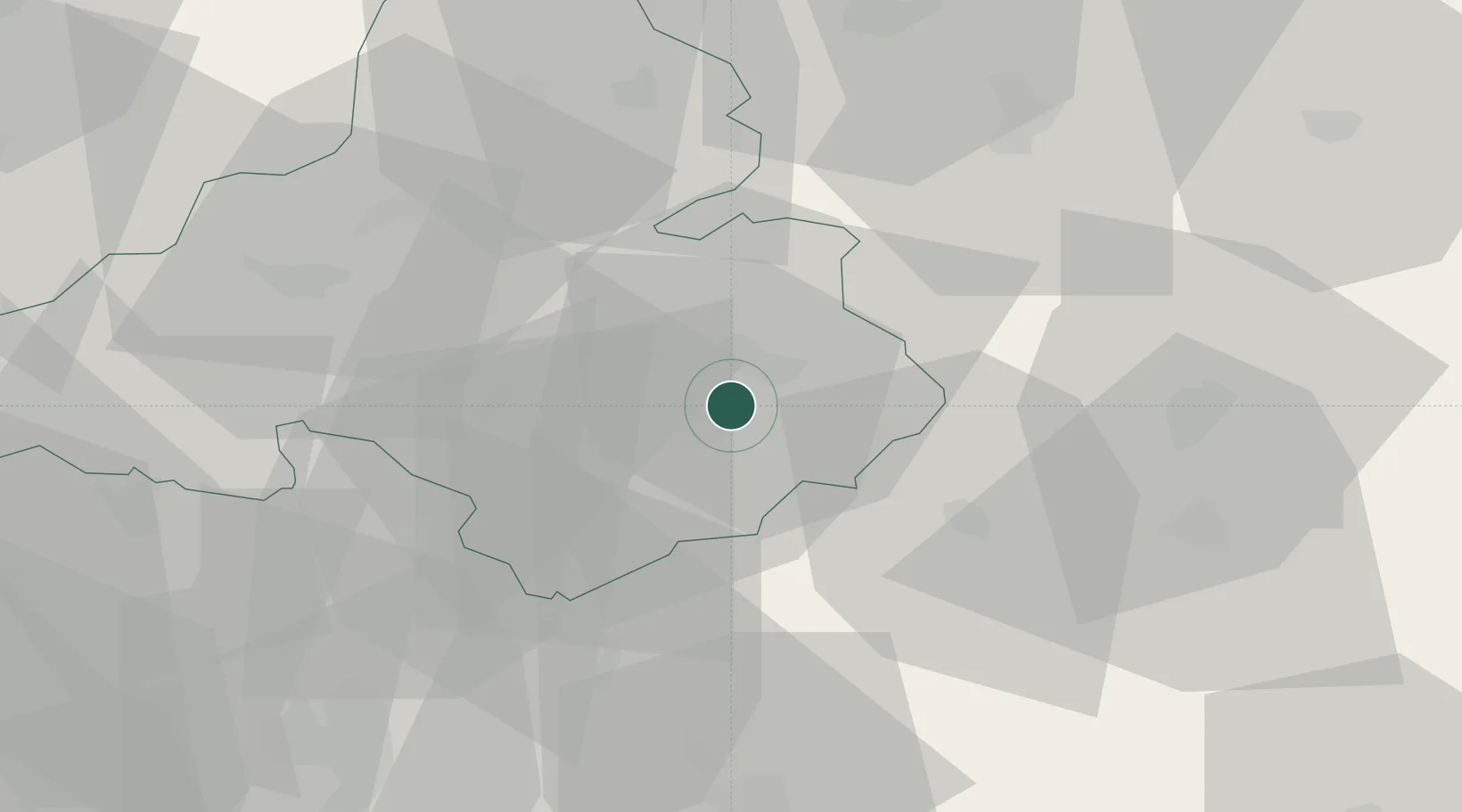
Location
Nearby Logistics Neighbours
Ports
- 1Bakar489 km
- 2Rijeka Luka491 km
- 3Omisalj496 km
- 4Trieste500 km
- 5Monfalcone501 km
Airports
- 1Sliač Airport43 km
- 2Piešťany Airport56 km
- 3Žilina-Dolný Hričov Airport56 km
- 4Kunovice Airport89 km
- 5Leoš Janáček Airport Ostrava112 km
Trade Zones
DatabookThe Record of Consolidated Knowledge
Slovakia beyond logistics?