Transport Functions
Rail
Road
Hub Profile
Place type
Populated place
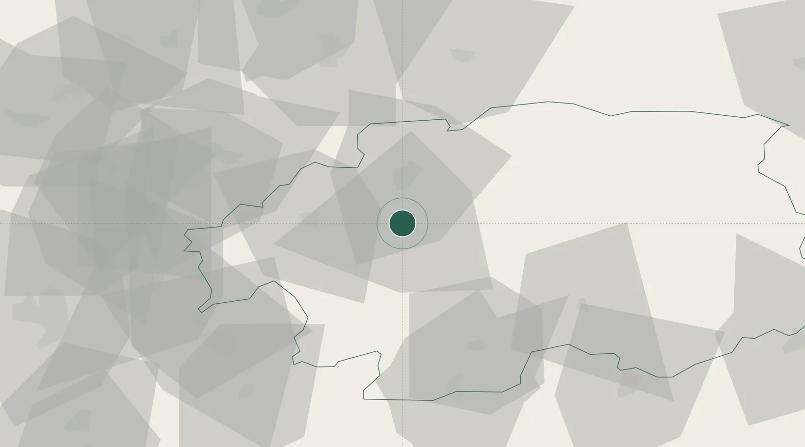
Region
Banská Bystrica Region
Population
39,844
Time zone
Europe/Bratislava
Elevation
297 m
Location
Nearby Logistics Neighbours
Cities
- 1Zvolenská Slatina10 km
- 2Ziar nad Hronom20 km
- 3Kremnica21 km
- 4Banska Stiavnica23 km
- 5Kriván23 km
Ports
- 1Bakar505 km
- 2Rijeka Luka508 km
- 3Omisalj511 km
- 4Senj514 km
- 5Trieste522 km
Airports
- 1Sliač Airport6 km
- 2Žilina-Dolný Hričov Airport82 km
- 3Piešťany Airport96 km
- 4Poprad-Tatry Airport98 km
- 5Budapest Liszt Ferenc International Airport129 km
Trade Zones
- 1Göd Special Economic Zone101 km
- 2Veselí nad Moravou Industrial Zone135 km
- 3Holešov Industrial Zone143 km
- 4Mošnov Development Area144 km
- 5Karvinská Specialized Economic Zone150 km
DatabookThe Record of Consolidated Knowledge
Slovakia beyond logistics?